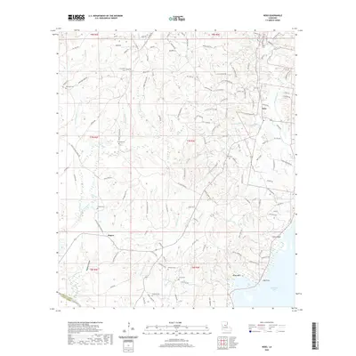
2020 Map of Nebo
USGS Topo · Published 2020About this map
Catahoula Lake dominates the southeastern corner of this landscape, its waters meeting the terrain at Indian Bluff and Big Point. The settlement of Nebo serves as a local hub in the northeast, while the smaller community of Rogers sits to the southwest. The geography is defined by a dense network of drainage, including Kitterlin Cr, Hurricane Cr, and Hemphill Creek, which carve through the elevations of Deville Hill.
Find a feature on this map
132 named features on this map. Tap any name to fly to it.
Don’t see what you’re looking for? This feature index may not catch every label — zoom into the map to look around manually.
Map Details
Editions of this 2020 Nebo Map
This is the sole edition of this map. No revisions or reprints were ever made.
Other maps of this area

1936 · Pollock
USGS Topo · 1:62,500

1941 · Jena
USGS Topo · 1:62,500

1941 · Alexandria
USGS Topo · 1:62,500

1941 · Buckeye
USGS Topo · 1:62,500

1941 · Pollock
USGS Topo · 1:62,500

1953 · Alexandria
USGS Topo · 1:250,000

1955 · Alexandria
USGS Topo · 1:250,000

1957 · Alexandria
USGS Topo · 1:62,500

1958 · Pollock
USGS Topo · 1:62,500

1958 · Jena
USGS Topo · 1:62,500