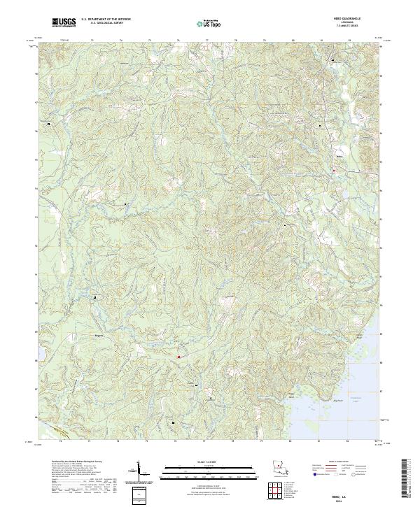
2024 Map of Nebo
USGS Topo · Published 2024About this map
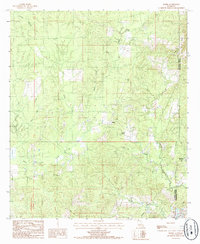
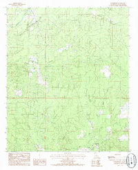
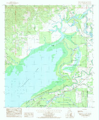
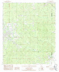
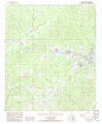
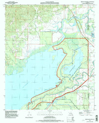
Catahoula Lake dominates the southeast corner of this LaSalle Parish landscape, where the low-lying wetlands around Boggy Bend and Big Point meet the upland timber and oil fields. The settlement of Nebo serves as a local hub, surrounded by a high density of family and community burial grounds including Coon Cem, Hailey Cem, and Nebo Cem. This area is defined by its complex drainage systems, with numerous creeks like Hemphill Creek and Kitterlin Creek carving through the terrain toward the Little River.
Find a feature on this map
168 named features on this map. Tap any name to fly to it.
Don’t see what you’re looking for? This feature index may not catch every label — zoom into the map to look around manually.
Map Details
Editions of this 2024 Nebo Map
This is the sole edition of this map. No revisions or reprints were ever made.
Historical Maps of Nebo Through Time
20 maps found
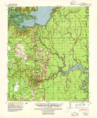
1941 Buckeye
LaSalle Parish, LA
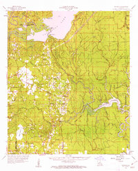
1959 Buckeye
LaSalle Parish, LA
1972 Buckeye NE
LaSalle Parish, LA
1984 Nickel
LaSalle Parish, LA
1984 Summerville
LaSalle Parish, LA
1985 Bird Island Point
LaSalle Parish, LA
1985 Jena East
LaSalle Parish, LA
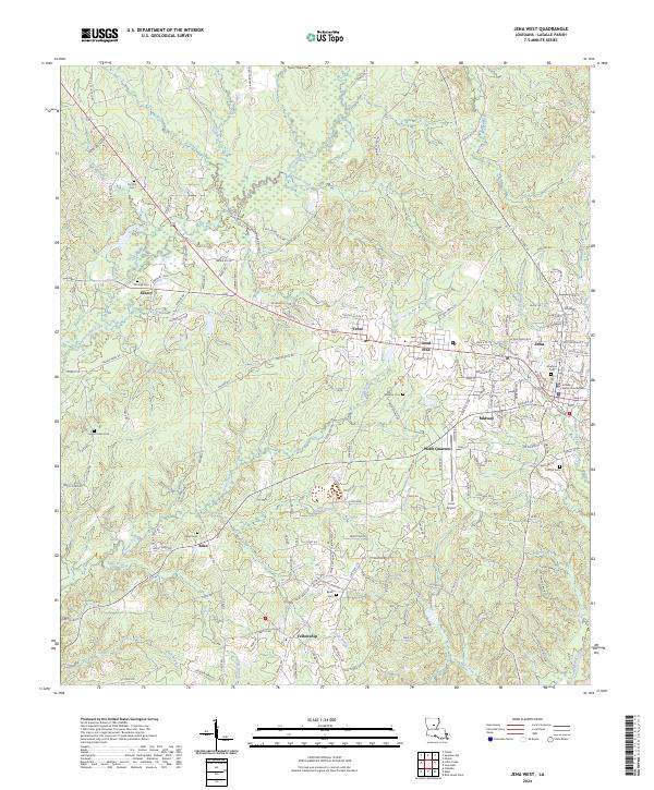
1985 Jena West
LaSalle Parish, LA
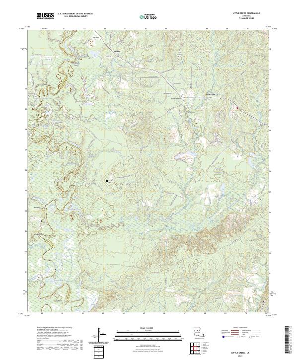
1985 Little Creek
LaSalle Parish, LA
1985 Nebo
LaSalle Parish, LA
1994 Bird Island Point
LaSalle Parish, LA
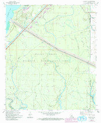
1998 Buckeye NE
LaSalle Parish, LA
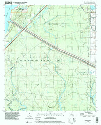
2024 Bird Island Point
LaSalle Parish, LA
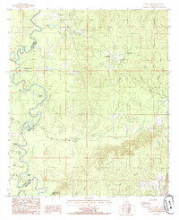
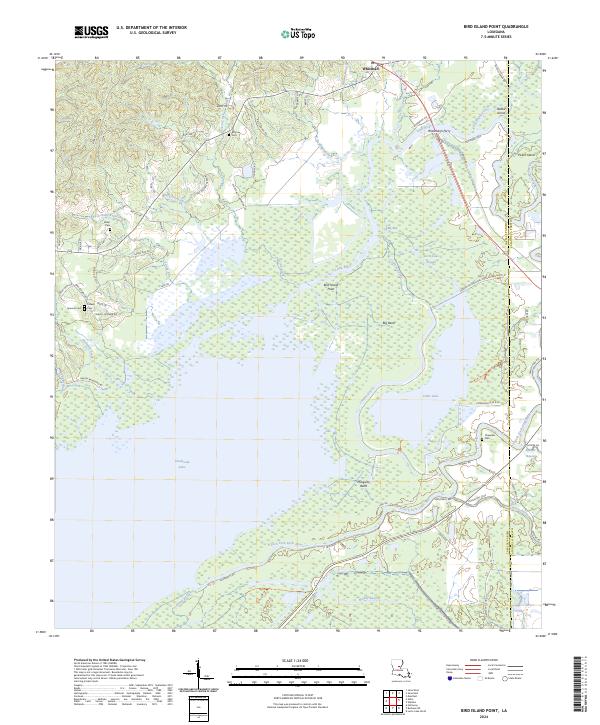
2024 Buckeye NE
LaSalle Parish, LA
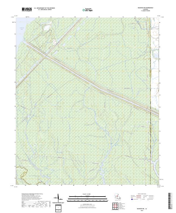
2024 Jena East
LaSalle Parish, LA
2024 Jena West
LaSalle Parish, LA
2024 Little Creek
LaSalle Parish, LA
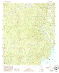
2024 Nebo
LaSalle Parish, LA
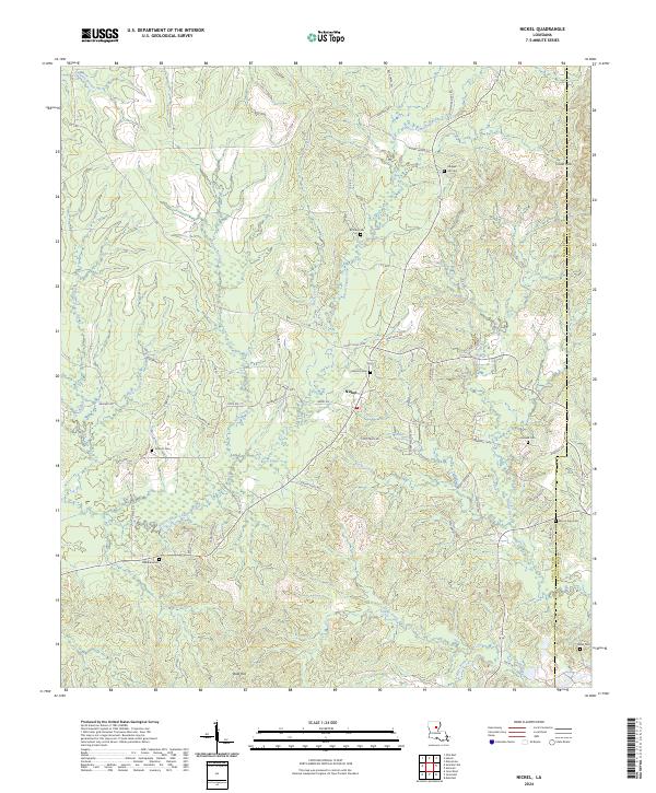
2024 Nickel
LaSalle Parish, LA
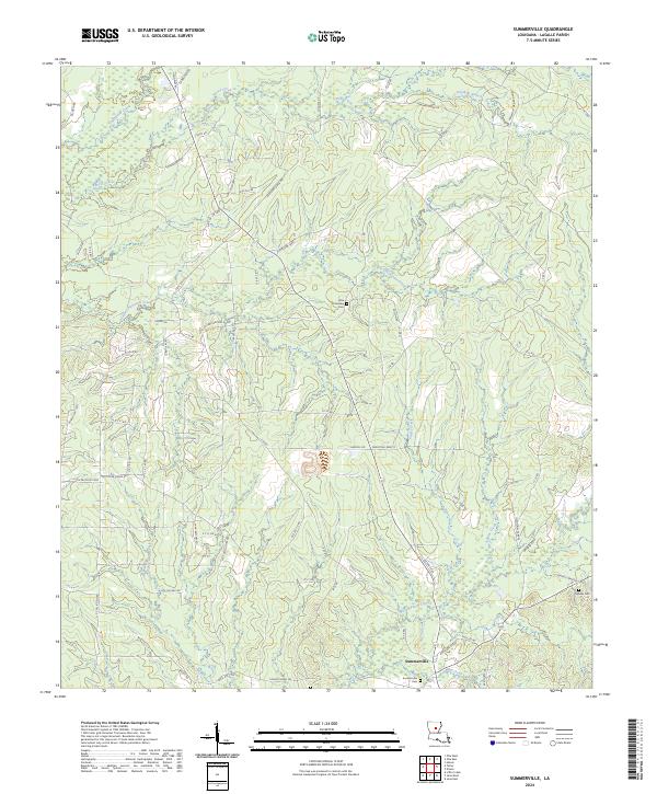
2024 Summerville
LaSalle Parish, LA