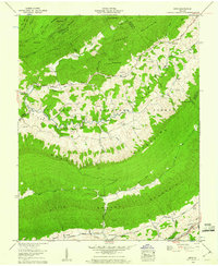
1959 Map of Nebo
USGS Topo · Published 1960About this map
Rich Valley and the surrounding ridgelines of the Jefferson National Forest characterize this late 1950s survey of Smyth County. The landscape is defined by the parallel courses of Walker Mountain and Brushy Mountain, which hem in a network of family cemeteries and rural congregations. Small communities like Nebo and Groseclose Store serve as focal points for the upland agriculture of the era. The mapping records a high density of ancestral sites, from the Ezelle Ch Goodman Cem to the Shuvely Cem Middle, illustrating the generational settlement patterns along the North Fork Holston River. Transport routes such as the Blue Grass Trail and Lee Highway wind through the gaps, connecting these mountain hollows to the broader region during a period of transition for rural Appalachia.
Find a feature on this map
79 named features on this map. Tap any name to fly to it.
Don’t see what you’re looking for? This feature index may not catch every label — zoom into the map to look around manually.
Map Details
Editions of this 1959 Nebo Map
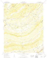
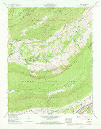
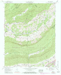
4 editions found
Other maps of this area

1887 · Pocahontas
USGS Topo · 1:125,000

1889 · Wytheville
USGS Topo · 1:125,000

1891 · Tazewell
USGS Topo · 1:125,000

1891 · Pocahontas
USGS Topo · 1:125,000

1891 · Abingdon
USGS Topo · 1:125,000

1892 · Wytheville
USGS Topo · 1:125,000

1894 · Pocahontas
USGS Topo · 1:125,000

1894 · Abingdon
USGS Topo · 1:125,000

1895 · Tazewell
USGS Topo · 1:125,000

1895 · Pocahontas
USGS Topo · 1:125,000