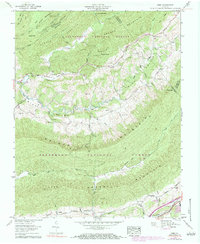
1959 Map of Nebo
USGS Topo · Published 1984About this map
Rich Valley serves as the central corridor for this Southwest Virginia survey, positioned between the imposing heights of Walker Mountain and Brushy Mountain. The settlement of Nebo anchors the valley floor, where small rural churches and family burying grounds such as Goodman Cem and Davis Cem mark the landscape. The northern portion of the map is dominated by the ridges of Carter Mountain and Little Brushy Mountain, where narrow hollows like Bridgeman Hollow provide drainage into the North Fork Holston River. Transport and trade patterns are visible through the presence of the Groseclose Store and the path of the Blue Grass Trail, which follows the valley floor. The map also reveals the border intersections where Smyth County meets Bland, Tazewell, and Wythe Counties, highlighting the region's complex administrative geography within the Jefferson National Forest.
Find a feature on this map
74 named features on this map. Tap any name to fly to it.
Don’t see what you’re looking for? This feature index may not catch every label — zoom into the map to look around manually.
Map Details
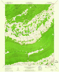
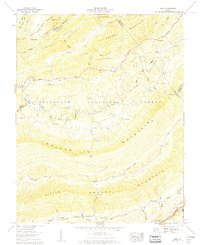
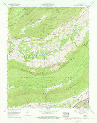
Editions of this 1959 Nebo Map
4 editions found
Other maps of this area

1887 · Pocahontas
USGS Topo · 1:125,000

1889 · Wytheville
USGS Topo · 1:125,000

1891 · Tazewell
USGS Topo · 1:125,000

1891 · Pocahontas
USGS Topo · 1:125,000

1891 · Abingdon
USGS Topo · 1:125,000

1892 · Wytheville
USGS Topo · 1:125,000

1894 · Pocahontas
USGS Topo · 1:125,000

1894 · Abingdon
USGS Topo · 1:125,000

1895 · Tazewell
USGS Topo · 1:125,000

1895 · Pocahontas
USGS Topo · 1:125,000