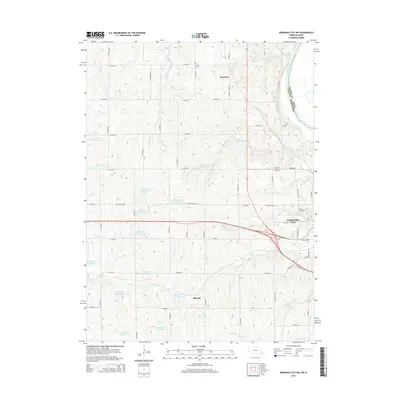
2014 Map of Nebraska City NW
USGS Topo · Published 2014About this map
Nebraska City serves as the focal point of this region where the plains meet the Missouri River. The landscape is defined by an intricate network of waterways and drainage systems, including Big Slough, Goose Creek, and Walnut Creek, which feed into numerous watershed structures such as Wilson Cr Reservoir 7-9 and Wilson Cr Reservoir 6-7. These reservoirs illustrate modern land management and flood control efforts in the agricultural heartland of Otoe County.
Find a feature on this map
63 named features on this map. Tap any name to fly to it.
Don’t see what you’re looking for? This feature index may not catch every label — zoom into the map to look around manually.
Map Details
Editions of this 2014 Nebraska City NW Map
This is the sole edition of this map. No revisions or reprints were ever made.
Other maps of this area

1903 · Weeping Water
USGS Topo · 1:125,000

1907 · Nebraska City
USGS Topo · 1:62,500

1929 · Weeping Water
USGS Topo · 1:125,000

1935 · Nehawka
USGS Topo · 1:48,000

1940 · Nehawka
USGS Topo · 1:62,500

1955 · Nebraska City
USGS Topo · 1:250,000

1955 · Lincoln
USGS Topo · 1:250,000

1957 · Nebraska City
USGS Topo · 1:250,000

1957 · Lincoln
USGS Topo · 1:250,000

1958 · Lincoln
USGS Topo · 1:250,000