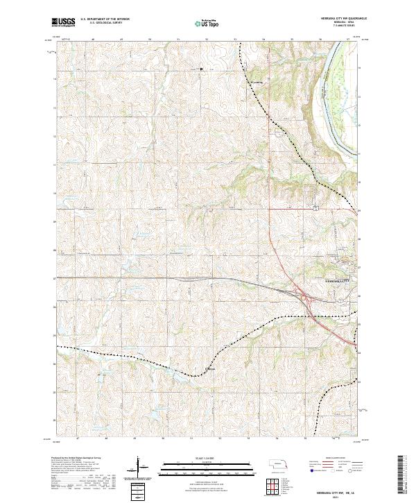
2021 Map of Nebraska City NW
USGS Topo · Published 2021About this map
Nebraska City serves as the focal point for this 2021 landscape, where the urban edge meets a meticulously managed watershed. The northwest outskirts are defined by an extensive series of reservoirs, including Wilson Cr Reservoir 6-5 and Wilson Cr Reservoir 5-5, which regulate the drainage of Walnut Cr and S-Table Cr. This complex hydraulic system reflects the area's modern land management, contrasting with the long-established rural grid that connects smaller locales like Wyoming and Elberon.
Find a feature on this map
68 named features on this map. Tap any name to fly to it.
Don’t see what you’re looking for? This feature index may not catch every label — zoom into the map to look around manually.
Map Details
Editions of this 2021 Nebraska City NW Map
This is the sole edition of this map. No revisions or reprints were ever made.
Other maps of this area

1903 · Weeping Water
USGS Topo · 1:125,000

1907 · Nebraska City
USGS Topo · 1:62,500

1929 · Weeping Water
USGS Topo · 1:125,000

1935 · Nehawka
USGS Topo · 1:48,000

1940 · Nehawka
USGS Topo · 1:62,500

1955 · Nebraska City
USGS Topo · 1:250,000

1955 · Lincoln
USGS Topo · 1:250,000

1957 · Nebraska City
USGS Topo · 1:250,000

1957 · Lincoln
USGS Topo · 1:250,000

1958 · Lincoln
USGS Topo · 1:250,000