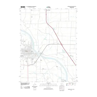
2010 Map of Nebraska City
USGS Topo · Published 2010About this map
Nebraska City serves as the focal point of this riverine survey, where the Missouri River carves a winding path between Nebraska and Iowa. The map documents the intricate hydrology of the floodplains, marked by managed waterways such as Possum Ditch and Horse Creek Ditch, alongside natural features like Liebold Lake and Frazers Island. On the Nebraska side, a dense concentration of local heritage sites includes Saint Marys Cemetery, Wyuka Cemetery, and Saint Benedicts Cemetery, reflecting the area's deep-rooted community history near the riverbanks.
Find a feature on this map
45 named features on this map. Tap any name to fly to it.
Don’t see what you’re looking for? This feature index may not catch every label — zoom into the map to look around manually.
Map Details
Editions of this 2010 Nebraska City Map
This is the sole edition of this map. No revisions or reprints were ever made.
Other maps of this area

1907 · Nebraska City
USGS Topo · 1:62,500

1935 · Nehawka
USGS Topo · 1:48,000

1939 · Hamburg
USGS Topo · 1:62,500

1940 · Nehawka
USGS Topo · 1:62,500

1941 · Hamburg
USGS Topo · 1:62,500

1955 · Nebraska City
USGS Topo · 1:250,000

1957 · Nebraska City
USGS Topo · 1:250,000

1957 · Tabor SW
USGS Topo · 1:24,000

1958 · Nebraska City
USGS Topo · 1:250,000
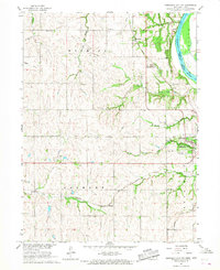
1966 · Nebraska City NW
USGS Topo · 1:24,000