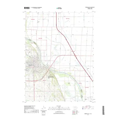
2017 Map of Nebraska City
USGS Topo · Published 2017About this map
Nebraska City serves as the focal point for this survey, where the Missouri River creates a winding border between Otoe County, Nebraska, and Fremont County, Iowa. The city's street grid is clearly defined, featuring thoroughfares such as Central Ave, 4th Corso, and the J Sterling Morton Beltway. A high density of burial sites, including Wyuka Cem, Saint Marys Cem, and Saint Benedicts Cem, offers significant research value for genealogists tracing local families.
Find a feature on this map
131 named features on this map. Tap any name to fly to it.
Don’t see what you’re looking for? This feature index may not catch every label — zoom into the map to look around manually.
Map Details
Editions of this 2017 Nebraska City Map
This is the sole edition of this map. No revisions or reprints were ever made.
Other maps of this area

1907 · Nebraska City
USGS Topo · 1:62,500

1935 · Nehawka
USGS Topo · 1:48,000

1939 · Hamburg
USGS Topo · 1:62,500

1940 · Nehawka
USGS Topo · 1:62,500

1941 · Hamburg
USGS Topo · 1:62,500

1955 · Nebraska City
USGS Topo · 1:250,000

1957 · Nebraska City
USGS Topo · 1:250,000

1957 · Tabor SW
USGS Topo · 1:24,000

1958 · Nebraska City
USGS Topo · 1:250,000
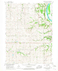
1966 · Nebraska City NW
USGS Topo · 1:24,000