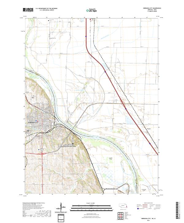
2021 Map of Nebraska City
USGS Topo · Published 2021About this map
The Otoe County Courthouse serves as the focal point for Nebraska City, where a detailed street grid meets the western banks of the Missouri River. This riverfront landscape is defined by complex drainage and irrigation systems, including the Mule Slough Ditch, Horse Cr Ditch, and Cresaps Lateral Number 7, which manage the fertile bottomlands across the border in Iowa. To the north and south of the city, family and religious history is preserved in sites like Wyuuka Cem, Saint Marys Cem, and Blanchard Cem. The shifting nature of the river is evident in features like Frazers Island and Schemmel Island, as well as the nearby Liebold Lake, illustrating how the waterway has historically carved the terrain between Nebraska and its neighbor, Payne, Iowa.
Find a feature on this map
77 named features on this map. Tap any name to fly to it.
Don’t see what you’re looking for? This feature index may not catch every label — zoom into the map to look around manually.
Map Details
Editions of this 2021 Nebraska City Map
This is the sole edition of this map. No revisions or reprints were ever made.
Other maps of this area

1907 · Nebraska City
USGS Topo · 1:62,500

1935 · Nehawka
USGS Topo · 1:48,000

1939 · Hamburg
USGS Topo · 1:62,500

1940 · Nehawka
USGS Topo · 1:62,500

1941 · Hamburg
USGS Topo · 1:62,500

1955 · Nebraska City
USGS Topo · 1:250,000

1957 · Nebraska City
USGS Topo · 1:250,000

1957 · Tabor SW
USGS Topo · 1:24,000

1958 · Nebraska City
USGS Topo · 1:250,000
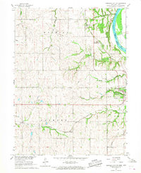
1966 · Nebraska City NW
USGS Topo · 1:24,000