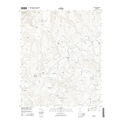
2014 Map of Nectar
USGS Topo · Published 2014About this map
Locust Fork and Mulberry Fork carve a complex path through this corner of Blount County, creating dramatic topographic shifts that define the local geography. The river system is punctuated by pronounced meanders, including Standridge Bend, Johnson Bend, and Gilman Bend, which have historically dictated the placement of roads and small communities. Settlement patterns follow the high ground and creek valleys, with clusters of activity at Nectar, Hayden, and Harkness Crossroads.
Find a feature on this map
163 named features on this map. Tap any name to fly to it.
Don’t see what you’re looking for? This feature index may not catch every label — zoom into the map to look around manually.
Map Details
Editions of this 2014 Nectar Map
This is the sole edition of this map. No revisions or reprints were ever made.
Other maps of this area

1888 · Cullman
USGS Topo · 1:125,000

1889 · Birmingham
USGS Topo · 1:125,000

1892 · Cullman
USGS Topo · 1:125,000

1892 · Birmingham
USGS Topo · 1:125,000

1895 · Birmingham
USGS Topo · 1:125,000

1907 · Birmingham
USGS Topo · 1:125,000

1951 · Warrior
USGS Topo · 1:24,000

1951 · Blount Springs
USGS Topo · 1:24,000

1953 · Birmingham
USGS Topo · 1:250,000

1956 · Birmingham
USGS Topo · 1:250,000