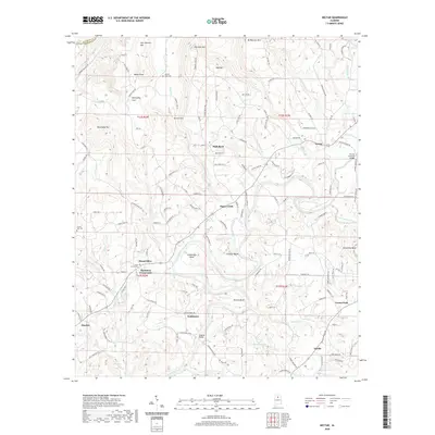
2020 Map of Nectar
USGS Topo · Published 2020About this map
Locust Fork snakes through the southern reaches of this Alabama landscape, carving prominent horseshoe and river bends like Johnson Bend and Gilman Bend. The river and its many tributaries, including Sugar Creek and Shoal Creek, dictate the movement of roads and the placement of bridges, most notably the Nectar Covered Bridge in the eastern section of the map. High elevations such as Hog Mountain and McAnnally Mountain look down upon valleys where local crossroads and family-named features define the geography. For those researching the community history of Blount County, several small settlements and cemeteries are documented here, from Harkness Crossroads and Wallstown to the Union Grove Cemetery. The topography transitions from steep ridges like Warnock Mountain in the north to the fertile basins near Adville and Hayden in the south, illustrating the enduring settlement patterns of this central Alabama region.
Find a feature on this map
142 named features on this map. Tap any name to fly to it.
Don’t see what you’re looking for? This feature index may not catch every label — zoom into the map to look around manually.
Map Details
Editions of this 2020 Nectar Map
This is the sole edition of this map. No revisions or reprints were ever made.
Other maps of this area

1888 · Cullman
USGS Topo · 1:125,000

1889 · Birmingham
USGS Topo · 1:125,000

1892 · Cullman
USGS Topo · 1:125,000

1892 · Birmingham
USGS Topo · 1:125,000

1895 · Birmingham
USGS Topo · 1:125,000

1907 · Birmingham
USGS Topo · 1:125,000

1951 · Warrior
USGS Topo · 1:24,000

1951 · Blount Springs
USGS Topo · 1:24,000

1953 · Birmingham
USGS Topo · 1:250,000

1956 · Birmingham
USGS Topo · 1:250,000