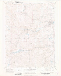
1972 Map of Nederland
USGS Topo · Published 1976About this map
Mining heritage and recreational development converge in this study of the Boulder and Gilpin County mountains during the early 1970s. The landscape is heavily marked by its extraction history, with countless shafts and tunnels such as the St Louis Mine and Black Hills Shaft peppered across Caribou Hill and the slopes near Perigo. This industrial legacy contrasts with the mid-century emergence of the Lake Eldora Ski Area and its associated Ski Lifts on the north face of Spencer Mountain.
Find a feature on this map
114 named features on this map. Tap any name to fly to it.
Don’t see what you’re looking for? This feature index may not catch every label — zoom into the map to look around manually.
Map Details
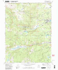
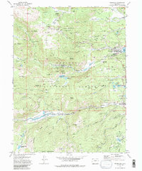
Editions of this 1972 Nederland Map
3 editions found
Other maps of this area

1899 · West Denver
USGS Topo · 1:125,000

1902 · Boulder
USGS Topo · 1:62,500

1904 · Boulder
USGS Topo · 1:62,500

1905 · Central City
USGS Topo · 1:62,500

1906 · Blackhawk
USGS Topo · 1:62,500

1910 · Central City
USGS Topo · 1:62,500

1912 · Central City
USGS Topo · 1:62,500

1915 · Longs Peak
USGS Topo · 1:125,000

1919 · Rocky Mountain National Park
USGS Topo · 1:125,000

1942 · Nederland
USGS Topo · 1:24,000
Featured Places
- Nederland, CO
- Caribou City, CO
- Rollinsville, CO
- East Portal Distributed Camping Area, CO
- West Magnolia Campground, CO