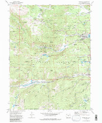
1972 Map of Nederland
USGS Topo · Published 1985About this map
Nederland serves as the focal point for this high-altitude survey, illustrating the convergence of mining history and recreational development in the early 1970s. The landscape is a complex network of industrial heritage, dotted with dozens of active or historical sites such as the Boulder County Mine, Conger Mine, and the Blackhawk Shaft. To the west, the Lake Eldora Ski Area marks the region's mid-century shift toward tourism, while the Univ of Colo Observatory on Park Hill highlights its role in scientific research.
Find a feature on this map
116 named features on this map. Tap any name to fly to it.
Don’t see what you’re looking for? This feature index may not catch every label — zoom into the map to look around manually.
Map Details
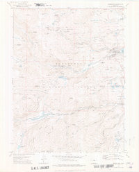
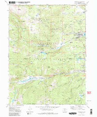
Editions of this 1972 Nederland Map
3 editions found
Other maps of this area

1899 · West Denver
USGS Topo · 1:125,000

1902 · Boulder
USGS Topo · 1:62,500

1904 · Boulder
USGS Topo · 1:62,500

1905 · Central City
USGS Topo · 1:62,500

1906 · Blackhawk
USGS Topo · 1:62,500

1910 · Central City
USGS Topo · 1:62,500

1912 · Central City
USGS Topo · 1:62,500

1915 · Longs Peak
USGS Topo · 1:125,000

1919 · Rocky Mountain National Park
USGS Topo · 1:125,000

1942 · Nederland
USGS Topo · 1:24,000
Featured Places
- Nederland, CO
- Caribou City, CO
- Rollinsville, CO
- East Portal Distributed Camping Area, CO
- West Magnolia Campground, CO