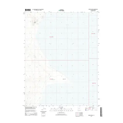
2014 Map of Needle Point
USGS Topo · Published 2014About this map
Sevier Lake dominates this arid landscape in Millard County, where the desert floor meets the edges of the Great Basin’s terminal drainage systems. The terrain is defined by low-relief landforms and essential water management features, including the Needle Point promontory and the isolated Coyote Knolls. In a region where water is the primary driver of the landscape’s character, several catchments appear, such as Madsen Reservoir, Needle Reservoir, and the Needle Hardpan Reservoir. These structures reflect the ongoing human effort to capture and manage ephemeral flows in a high-desert environment. The map captures a moment in the early 21st century when the basin's hydrology remained the central feature of the geography.
Find a feature on this map
10 named features on this map. Tap any name to fly to it.
Don’t see what you’re looking for? This feature index may not catch every label — zoom into the map to look around manually.
Map Details
Editions of this 2014 Needle Point Map
This is the sole edition of this map. No revisions or reprints were ever made.
Other maps of this area

1908 · Fish Springs
USGS Topo · 1:250,000

1910 · Fish Springs
USGS Topo · 1:250,000

1953 · Richfield
USGS Topo · 1:250,000

1953 · Delta
USGS Topo · 1:250,000

1958 · Richfield
USGS Topo · 1:250,000

1958 · Delta
USGS Topo · 1:250,000

1960 · Notch Peak
USGS Topo · 1:62,500

1960 · The Barn
USGS Topo · 1:62,500

1962 · Delta
USGS Topo · 1:250,000

1972 · Headlight Mtn
USGS Topo · 1:24,000