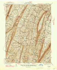
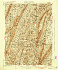
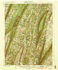
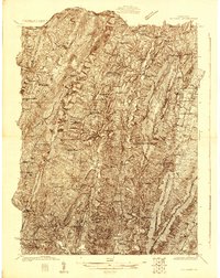
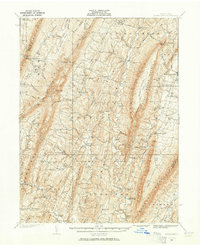
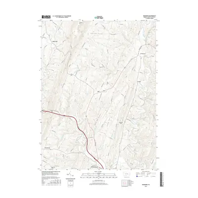
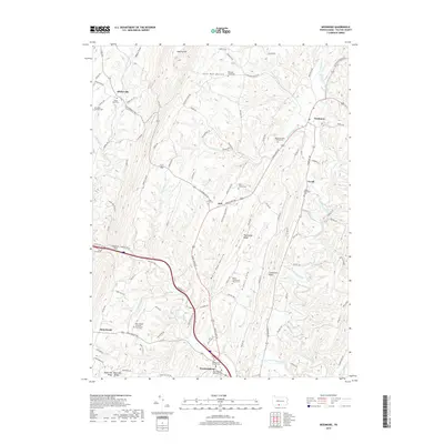
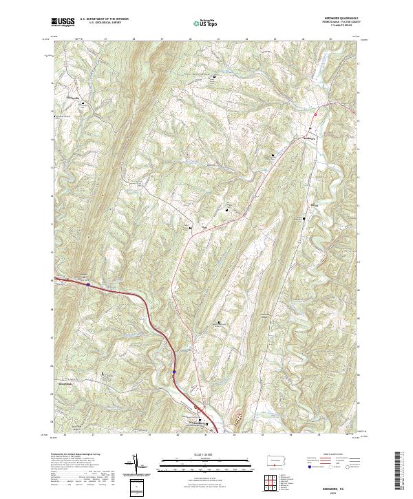
1939 Map of Needmore
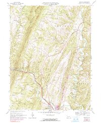
USGS Topo · Published 1947About this map
Sideling Hill and Tuscarora Mountain define the parallel ridges of this Pennsylvania landscape, where small agricultural and industrial communities follow the narrow valleys of Licking Creek and Tonoloway Creek. Based on surveys conducted in the mid-1930s, the map reveals an intricate network of rural infrastructure, from the Big Cove Tannery to the localized commercial hub at Sipes Mill. Genealogists will find a wealth of specific landmarks, including family-named schools like McNaughton Sch and Siloam Sch, alongside numerous country churches such as Bedford Chapel and Mays Chapel. The southern portion of the map near the Maryland border features the crossing at Anthony Ford and the settlement of Warfordsburg, providing a detailed view of the region's transport patterns before modern interstate development. Of particular interest is the early alignment of the Pennsylvania Turnpike as it cuts through the northwestern corner near Breezewood.
Find a feature on this map
115 named features on this map. Tap any name to fly to it.
Don’t see what you’re looking for? This feature index may not catch every label — zoom into the map to look around manually.
Map Details
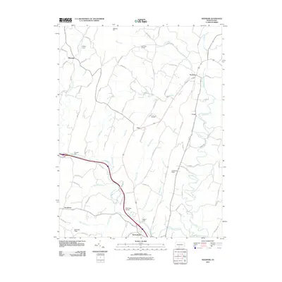
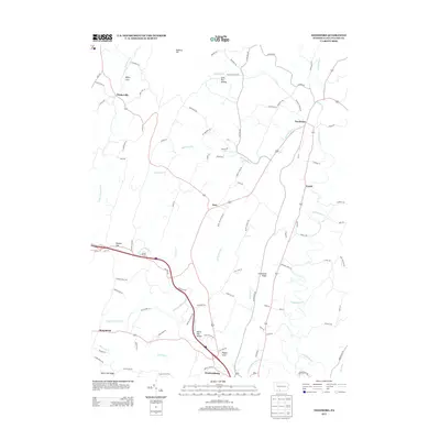
Editions of this 1939 Needmore Map
Historical Maps of Ayr Township Through Time
9 maps found
Featured Locations
- Todd Township, PA
- Ayr Township, PA
- Bethel Township, PA
- Gapsville, East Providence Township
- Andover, Licking Creek Township