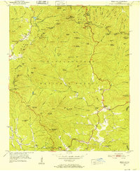
1950 Map of Neels Gap
USGS Topo · Published 1952About this map
Blood Mountain dominates the high peaks of the Blue Ridge in the early 1950s, a landscape defined by the intersection of the Appalachian Trail and the remote mountain gaps of the Chattahoochee National Forest. This survey captures the rural infrastructure of the North Georgia mountains before modern development, centering on the recreation hub at Vogel State Park and the high pass at Neels Gap. Local community life is grounded in the presence of small mountain congregations and landmarks like Mt Zion Ch and Mt Pisgah Sch. The terrain is deeply dissected by drainages such as Slaughter Creek and Frogtown Creek, while family-named ridges and summits like Gaddis Mtn and Burnett Field Mtn suggest the early settlement patterns of the region. Evidence of historical resource extraction is preserved at Glass Mine Top, nestled near the headwaters of Waters Creek.
Find a feature on this map
131 named features on this map. Tap any name to fly to it.
Don’t see what you’re looking for? This feature index may not catch every label — zoom into the map to look around manually.
Map Details
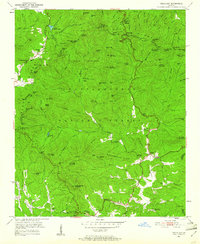
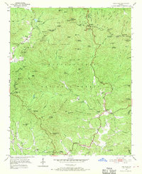
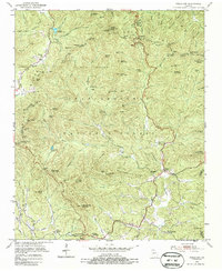
Editions of this 1950 Neels Gap Map
4 editions found
Other maps of this area

1886 · Dahlonega
USGS Topo · 1:125,000

1888 · Ellijay
USGS Topo · 1:125,000

1892 · Dahlonega
USGS Topo · 1:125,000

1892 · Ellijay
USGS Topo · 1:125,000

1896 · Dahlonega
USGS Topo · 1:125,000

1898 · Ellijay
USGS Topo · 1:125,000

1903 · Dahlonega
USGS Topo · 1:125,000

1911 · Ellijay
USGS Topo · 1:125,000

1935 · Coosa Bald
USGS Topo · 1:24,000

1935 · Mulky Gap
USGS Topo · 1:24,000