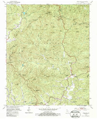
1950 Map of Neels Gap
USGS Topo · Published 1987About this map
Blood Mountain dominates this portion of the Chattahoochee National Forest during the mid-century, where high-elevation landmarks define the boundary between Union and Lumpkin counties. The Appalachian Trail winds along the Blue Ridge crest, passing through Slaughter Gap and Neels Gap near the recreational grounds of Vogel State Park. The landscape is a network of steep knobs and gaps, including Jacobs Knob and Woody Gap, punctuated by water features like Lake Winfield Scott and the Chestatee River. Evidence of local community life is found in the valley floors and lower ridges, where Mt Zion Ch, Mt Pisgah Sch, and Damascus Ch served the residents of the North Georgia mountains. Small-scale industry is represented by a Mill near Meetinghouse Ridge, while the settlement at Turners Corner marks a key junction in the eastern half of the survey.
Find a feature on this map
116 named features on this map. Tap any name to fly to it.
Don’t see what you’re looking for? This feature index may not catch every label — zoom into the map to look around manually.
Map Details
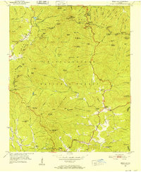
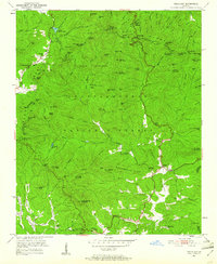
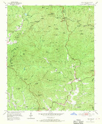
Editions of this 1950 Neels Gap Map
4 editions found
Other maps of this area

1886 · Dahlonega
USGS Topo · 1:125,000

1888 · Ellijay
USGS Topo · 1:125,000

1892 · Dahlonega
USGS Topo · 1:125,000

1892 · Ellijay
USGS Topo · 1:125,000

1896 · Dahlonega
USGS Topo · 1:125,000

1898 · Ellijay
USGS Topo · 1:125,000

1903 · Dahlonega
USGS Topo · 1:125,000

1911 · Ellijay
USGS Topo · 1:125,000

1935 · Coosa Bald
USGS Topo · 1:24,000

1935 · Mulky Gap
USGS Topo · 1:24,000