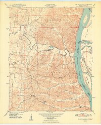
1948 Map of Neelys Landing
USGS Topo · Published 1948About this map
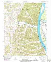
The Mississippi River corridor defines this 1948 survey, where the water forms the jagged boundary between Missouri and Illinois. Apple Creek meanders eastward through Brazeau and Shawnee townships to join the river, carving a path through the dissected uplands of Cape Girardeau and Perry counties. The riverfront is marked by small commerce points like Neelys Landing and Hines Landing, while the inland landscape is dotted with rural centers including New Wells and the New Bethel Ch. Education was clearly localized at the time, evidenced by a network of schools such as Oak Hill Sch and High Hill Sch. The eastern bank features complex river geography, including Tower Island Chute and several islands. Transportation is anchored by the St Louis San Francisco railroad line tracking the river’s edge.
Find a feature on this map
30 named features on this map. Tap any name to fly to it.
Don’t see what you’re looking for? This feature index may not catch every label — zoom into the map to look around manually.
Map Details
Editions of this 1948 Neelys Landing Map
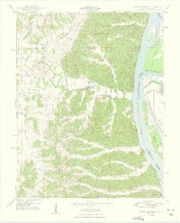
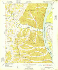
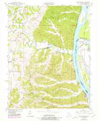
5 editions found
Other maps of this area

1918 · Altenburg
USGS Topo · 1:62,500

1920 · Jonesboro
USGS Topo · 1:62,500

1922 · Cape Girardeau
USGS Topo · 1:62,500

1923 · Jonesboro
USGS Topo · 1:62,500

1924 · Cape Girardeau
USGS Topo · 1:62,500

1924 · Alto Pass
USGS Topo · 1:62,500

1925 · Altenburg
USGS Topo · 1:62,500

1947 · Jonesboro
USGS Topo · 1:62,500

1947 · Alto Pass
USGS Topo · 1:62,500

1947 · Crosstown
USGS Topo · 1:24,000