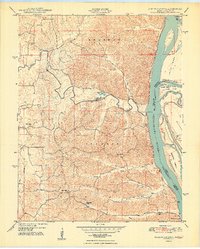
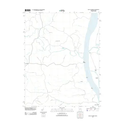
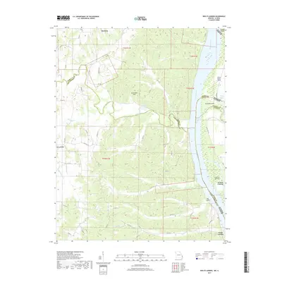
1948 Map of Neelys Landing
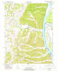
USGS Topo · Published 1978About this map
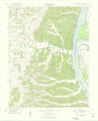
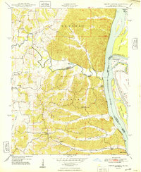
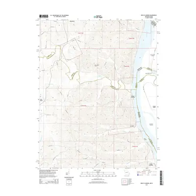
The Mississippi River creates a dynamic eastern boundary for this Missouri-Illinois borderland, where the St Louis San Francisco RR follows the western shoreline through rugged river-bluff terrain. Small agricultural settlements like New Wells and Neelys Landing anchor the Missouri side, connected by a network of rural roads that navigate deep valleys such as Dog Hollow and the winding course of Apple Creek.
Find a feature on this map
29 named features on this map. Tap any name to fly to it.
Don’t see what you’re looking for? This feature index may not catch every label — zoom into the map to look around manually.
Map Details
Editions of this 1948 Neelys Landing Map
5 editions found
Historical Maps of Grand Tower Through Time
17 maps found
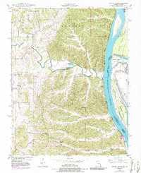
1948 Neelys Landing
Cape Girardeau County, MO
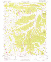
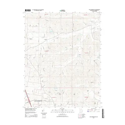
1967 Cape Girardeau NE
Cape Girardeau County, MO
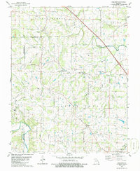
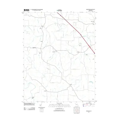
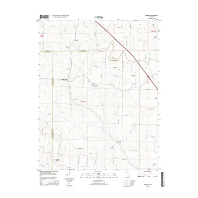
1980 Friedheim
Cape Girardeau County, MO
1993 Cape Girardeau NE
Cape Girardeau County, MO

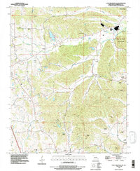
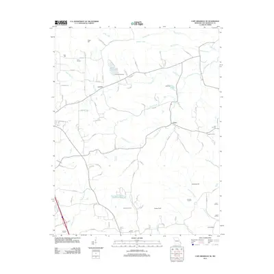
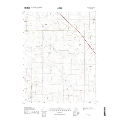
1993 Neelys Landing
Cape Girardeau County, MO
2012 Cape Girardeau NE
Cape Girardeau County, MO
2012 Friedheim
Cape Girardeau County, MO
2012 Neelys Landing
Cape Girardeau County, MO
2015 Cape Girardeau NE
Cape Girardeau County, MO
2015 Friedheim
Cape Girardeau County, MO
2015 Neelys Landing
Cape Girardeau County, MO
2017 Cape Girardeau NE
Cape Girardeau County, MO
2017 Friedheim
Cape Girardeau County, MO
2017 Neelys Landing
Cape Girardeau County, MO
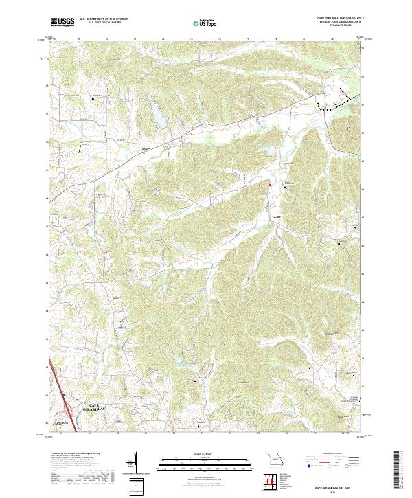
2021 Cape Girardeau NE
Cape Girardeau County, MO
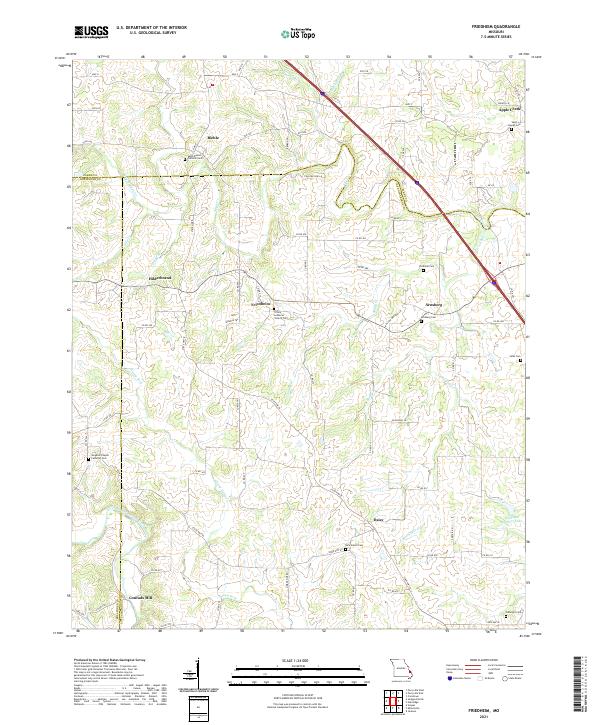
2021 Friedheim
Cape Girardeau County, MO
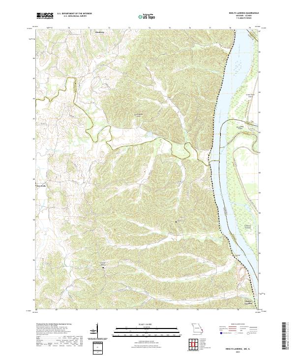
2021 Neelys Landing
Cape Girardeau County, MO