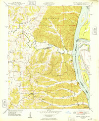
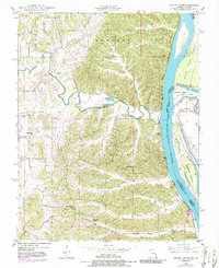
1948 Map of Neelys Landing
USGS Topo · Published 1948About this map
Neelys Landing and the river-carved bluffs of the Mississippi River dominate this late 1940s landscape where Perry and Cape Girardeau counties meet. The topography transitions from the high ridges of Brazeau and Shawnee down to the fertile river bottomlands. Small rural communities and schoolhouses like New Wells and the High Hill Sch anchor the interior, connected by winding creek-side roads following Apple Creek and Shawnee Creek.
Find a feature on this map
32 named features on this map. Tap any name to fly to it.
Don’t see what you’re looking for? This feature index may not catch every label — zoom into the map to look around manually.
Map Details
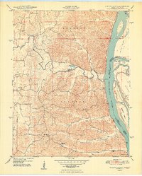
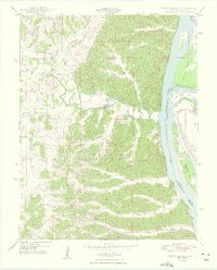
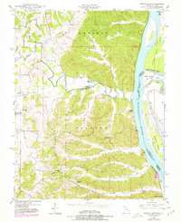
Editions of this 1948 Neelys Landing Map
5 editions found
Other maps of this area

1918 · Altenburg
USGS Topo · 1:62,500

1920 · Jonesboro
USGS Topo · 1:62,500

1922 · Cape Girardeau
USGS Topo · 1:62,500

1923 · Jonesboro
USGS Topo · 1:62,500

1924 · Cape Girardeau
USGS Topo · 1:62,500

1924 · Alto Pass
USGS Topo · 1:62,500

1925 · Altenburg
USGS Topo · 1:62,500

1947 · Jonesboro
USGS Topo · 1:62,500

1947 · Alto Pass
USGS Topo · 1:62,500

1947 · Crosstown
USGS Topo · 1:24,000