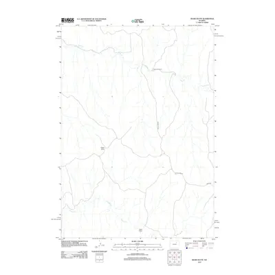
2012 Map of Negro Butte
USGS Topo · Published 2012About this map
Beaver Creek Ranch serves as a primary marker of land use in this section of Campbell County, where the high plains landscape is defined by its drainage basins and isolated topographic features. The northern portion of the map is dominated by the winding course of Beaver Cr, while the southern reaches are marked by the headwaters of Pumpkin Cr. This 2012 survey illustrates a sparsely populated ranching environment typical of northeastern Wyoming, where development is largely limited to unpaved access routes like Beaver Creek Rd and Iberlin Rd. Prominent landmarks such as Negro Butte and the long depression of Hood Draw break the terrain, providing essential orientation points for those studying the physical geography or land ownership patterns of the region.
Find a feature on this map
7 named features on this map. Tap any name to fly to it.
Don’t see what you’re looking for? This feature index may not catch every label — zoom into the map to look around manually.
Map Details
Editions of this 2012 Negro Butte Map
This is the sole edition of this map. No revisions or reprints were ever made.
Other maps of this area

1953 · Hoe Ranch
USGS Topo · 1:24,000

1953 · Fats Draw
USGS Topo · 1:24,000

1953 · The Nipple
USGS Topo · 1:24,000

1954 · Gillette
USGS Topo · 1:250,000

1955 · Newcastle
USGS Topo · 1:250,000

1955 · Sheridan
USGS Topo · 1:250,000

1955 · Arminto
USGS Topo · 1:250,000

1955 · Gillette
USGS Topo · 1:250,000

1958 · Gillette
USGS Topo · 1:250,000

1958 · Sheridan
USGS Topo · 1:250,000