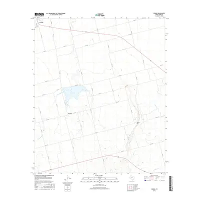
2016 Map of Neinda
USGS Topo · Published 2016About this map
Hamlin anchors the northwestern corner of this landscape in Jones and Fisher Counties, where the rural topography begins to rise toward Skinout Mtn. The area is defined by a dendritic network of intermittent watercourses, including California Cr and Dry California Cr, which feed into the centrally located South Lake. These drainages carve subtle relief into the terrain, influencing the layout of the local road system, such as FM 126, which connects the small settlement of Neinda to the surrounding ranching and agricultural lands.
Find a feature on this map
43 named features on this map. Tap any name to fly to it.
Don’t see what you’re looking for? This feature index may not catch every label — zoom into the map to look around manually.
Map Details
Editions of this 2016 Neinda Map
This is the sole edition of this map. No revisions or reprints were ever made.
Other maps of this area

1891 · Anson
USGS Topo · 1:125,000

1893 · Roby
USGS Topo · 1:125,000

1893 · Anson
USGS Topo · 1:125,000

1954 · Big Spring
USGS Topo · 1:250,000

1954 · Abilene
USGS Topo · 1:250,000

1957 · Hawley
USGS Topo · 1:62,500

1957 · Noodle
USGS Topo · 1:62,500

1958 · Big Spring
USGS Topo · 1:250,000

1958 · Abilene
USGS Topo · 1:250,000

1965 · Tuxedo
USGS Topo · 1:24,000