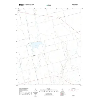
2019 Map of Neinda
USGS Topo · Published 2019About this map
Hamlin anchors the northwestern corner of this Jones County landscape, where the town's residential street grid, including SW 17th ST, transitions abruptly into a vast network of section roads and agricultural fields. Further south, the small settlement of Neinda sits along FM 126, serving as a local hub for the surrounding ranching and farming community. The area's hydrology is defined by the winding paths of Dry California Cr and California Cr, which feed into the prominent South Lake. To the southeast, the terrain becomes more distinct with the elevation of Skinout Mtn rising above the drainage of Skinout Cr. This 2019 survey illustrates a classic West Texas rural structure, where long-established farm-to-market roads like FM 1636 W and FM 668 connect isolated homesteads and maintain the connectivity of this sparsely populated region.
Find a feature on this map
42 named features on this map. Tap any name to fly to it.
Don’t see what you’re looking for? This feature index may not catch every label — zoom into the map to look around manually.
Map Details
Editions of this 2019 Neinda Map
This is the sole edition of this map. No revisions or reprints were ever made.
Other maps of this area

1891 · Anson
USGS Topo · 1:125,000

1893 · Roby
USGS Topo · 1:125,000

1893 · Anson
USGS Topo · 1:125,000

1954 · Big Spring
USGS Topo · 1:250,000

1954 · Abilene
USGS Topo · 1:250,000

1957 · Hawley
USGS Topo · 1:62,500

1957 · Noodle
USGS Topo · 1:62,500

1958 · Big Spring
USGS Topo · 1:250,000

1958 · Abilene
USGS Topo · 1:250,000

1965 · Tuxedo
USGS Topo · 1:24,000