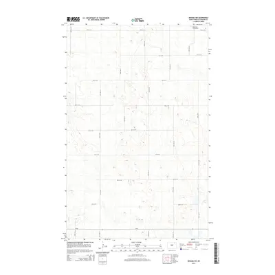
2014 Map of Nekoma NW
USGS Topo · Published 2014About this map
Robertson Field Airport sits in the northeast corner of this rural Cavalier County landscape, serving as a primary landmark in an area defined by its strict section-line grid. This modern topographic survey reveals the agricultural geometry of the northern plains, where roads such as 100th Ave NE and 92nd St NE form a precise network across the terrain. The presence of ND-66 at the southern edge indicates a vital transportation corridor connecting these remote farming sections. For historians and researchers, the map provides an exacting view of land division and rural infrastructure as it existed in the early 21st century, showing how modern aviation and traditional road networks integrate into the prairie landscape.
Find a feature on this map
16 named features on this map. Tap any name to fly to it.
Don’t see what you’re looking for? This feature index may not catch every label — zoom into the map to look around manually.
Map Details
Editions of this 2014 Nekoma NW Map
This is the sole edition of this map. No revisions or reprints were ever made.
Other maps of this area

1953 · Devils Lake
USGS Topo · 1:250,000

1956 · Devils Lake
USGS Topo · 1:250,000

1967 · Langdon East
USGS Topo · 1:24,000

1970 · Loma
USGS Topo · 1:24,000

1970 · Alsen SE
USGS Topo · 1:24,000

1970 · Hannah SE
USGS Topo · 1:24,000

1970 · Langdon West
USGS Topo · 1:24,000

1972 · Nekoma
USGS Topo · 1:24,000

1972 · Easby
USGS Topo · 1:24,000

1972 · Billings Lake
USGS Topo · 1:24,000