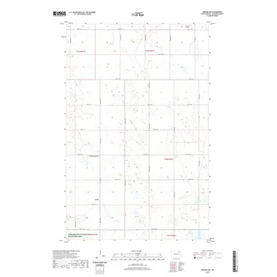
2020 Map of Nekoma NW
USGS Topo · Published 2020About this map
Loma stands as a primary point of interest in this section of the northern Great Plains, situated at the intersection of a grid-based road network that defines the rural landscape. The map illustrates a region dominated by agricultural survey lines and natural depressions, with Robertson Field located to the northeast. To the south, the Cavalier County Water Production Area indicates a shift toward conservation and resource management amidst the surrounding townships. The topographic details reveal numerous small wetlands and basins scattered throughout t161n r61w, t161n r60w, and t160n r60w, reflecting the characteristic prairie pothole geology of Cavalier County. This documentation of contemporary land use shows how modern road designations like 92nd St NE and 100th Ave NE organize the vast, open terrain.
Find a feature on this map
25 named features on this map. Tap any name to fly to it.
Don’t see what you’re looking for? This feature index may not catch every label — zoom into the map to look around manually.
Map Details
Editions of this 2020 Nekoma NW Map
This is the sole edition of this map. No revisions or reprints were ever made.
Other maps of this area

1953 · Devils Lake
USGS Topo · 1:250,000

1956 · Devils Lake
USGS Topo · 1:250,000

1967 · Langdon East
USGS Topo · 1:24,000

1970 · Loma
USGS Topo · 1:24,000

1970 · Alsen SE
USGS Topo · 1:24,000

1970 · Hannah SE
USGS Topo · 1:24,000

1970 · Langdon West
USGS Topo · 1:24,000

1972 · Nekoma
USGS Topo · 1:24,000

1972 · Easby
USGS Topo · 1:24,000

1972 · Billings Lake
USGS Topo · 1:24,000