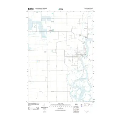
2010 Map of Nekoosa
USGS Topo · Published 2010About this map
The Wisconsin River dominates this Wood County landscape, carving a wide path through Nekoosa where the Nekoosa WP348 Dam harnesses its power. This 2010 survey illustrates a region defined by its water management and industrial heritage, with multiple structures such as the Wood County 2 C 6118 Dam and the Wood County 3 C 6118 Dam regulating the low-lying terrain to the west. The area around Nekoosa Junction shows the intersection of rail and river commerce that sustained the local economy.
Find a feature on this map
44 named features on this map. Tap any name to fly to it.
Don’t see what you’re looking for? This feature index may not catch every label — zoom into the map to look around manually.
Map Details
Editions of this 2010 Nekoosa Map
This is the sole edition of this map. No revisions or reprints were ever made.
Other maps of this area

1953 · Eau Claire
USGS Topo · 1:250,000

1955 · Green Bay
USGS Topo · 1:250,000
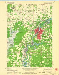
1957 · Wisconsin Rapids
USGS Topo · 1:48,000
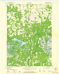
1957 · Pittsville
USGS Topo · 1:48,000

1958 · Eau Claire
USGS Topo · 1:250,000
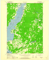
1958 · Arkdale
USGS Topo · 1:48,000
1958 · Necedah
USGS Topo · 1:48,000

1964 · Eau Claire
USGS Topo · 1:250,000
1967 · Arkdale NE
USGS Topo · 1:24,000
1967 · Wisconsin Rapids
USGS Topo · 1:62,500