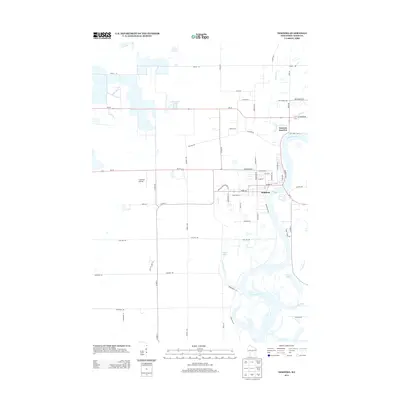
2013 Map of Nekoosa
USGS Topo · Published 2013About this map
The Wisconsin River winds through the heart of this central Wisconsin landscape, defining the industrial and residential footprint of Nekoosa. In this early 21st-century survey, the town's grid is established between Alexander Ave and Point Basse Ave, with Nekoosa Junction situated to the north where several drainage systems converge. The surrounding terrain is characterized by a complex network of waterways, including Moccasin Cr and Ripple Cr, which feed into the main river channel. To the west, the rural character of Wood County is evident, marked by the Cranmoor Airstrip and large water management features like 14 Reservoir. The area south of town transitions into a riparian landscape of oxbows and wetlands, featuring Ross Lake and the confluences of Sevenmile Cr and Tenmile Creek.
Find a feature on this map
59 named features on this map. Tap any name to fly to it.
Don’t see what you’re looking for? This feature index may not catch every label — zoom into the map to look around manually.
Map Details
Editions of this 2013 Nekoosa Map
This is the sole edition of this map. No revisions or reprints were ever made.
Other maps of this area

1953 · Eau Claire
USGS Topo · 1:250,000

1955 · Green Bay
USGS Topo · 1:250,000

1957 · Wisconsin Rapids
USGS Topo · 1:48,000

1957 · Pittsville
USGS Topo · 1:48,000

1958 · Eau Claire
USGS Topo · 1:250,000

1958 · Arkdale
USGS Topo · 1:48,000

1958 · Necedah
USGS Topo · 1:48,000

1964 · Eau Claire
USGS Topo · 1:250,000

1967 · Arkdale NE
USGS Topo · 1:24,000

1967 · Wisconsin Rapids
USGS Topo · 1:62,500