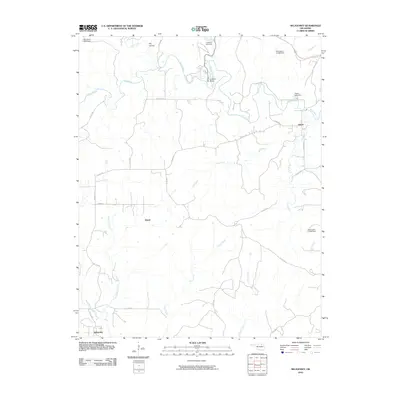
2010 Map of Nelagoney
USGS Topo · Published 2010About this map
Nelagoney sits at the southwestern corner of this Osage County landscape, where the waters of Buffalo Creek and Nelagoney Creek converge. The topography is defined by a dense network of winding waterways, including Sand Creek which flows past Lookout Point in the north and the central drainage of Lost Creek. Small settlements like Kiheki and Okesa are connected by a grid of county roads, such as Co Rd 2415 and Co Rd 2610, which trace the section lines of this rural territory. Several numbered dams, including Oknoname 071044 Dam and Oknoname 071042 Dam, indicate the management of local tributaries like Paula Creek. This survey captures the transition from open range to a more regulated hydrological and transport network, providing a clear view of the area's rural character before further modern development changed the profile of the creeks and hollows.
Find a feature on this map
36 named features on this map. Tap any name to fly to it.
Don’t see what you’re looking for? This feature index may not catch every label — zoom into the map to look around manually.
Map Details
Editions of this 2010 Nelagoney Map
This is the sole edition of this map. No revisions or reprints were ever made.
Other maps of this area

1906 · Nelagoney
USGS Topo · 1:24,000

1909 · Pawhuska
USGS Topo · 1:125,000

1910 · Pawhuska
USGS Topo · 1:125,000

1955 · Enid
USGS Topo · 1:250,000

1958 · Enid
USGS Topo · 1:250,000

1960 · Nanos
USGS Topo · 1:24,000

1960 · Nelagoney
USGS Topo · 1:24,000

1960 · Herd
USGS Topo · 1:24,000

1960 · Pawhuska
USGS Topo · 1:24,000

1964 · Barnsdall
USGS Topo · 1:24,000