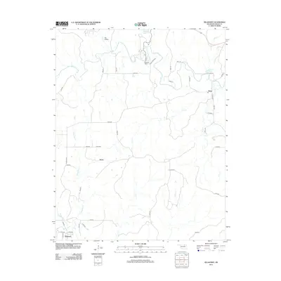
2012 Map of Nelagoney
USGS Topo · Published 2012About this map
Nelagoney, Okesa, and the settlement of Kiheki anchor this portion of Osage County during the early 21st century. The landscape is defined by the drainages of Nelagoney Cr and Sand Cr, which wind through a terrain marked by landforms like Lookout Point and Dry Hollow. Human use of the land is balanced between the protected acreage of Osage State Park and a network of rural routes such as Okesa Rd and Black Top Dr.
Find a feature on this map
47 named features on this map. Tap any name to fly to it.
Don’t see what you’re looking for? This feature index may not catch every label — zoom into the map to look around manually.
Map Details
Editions of this 2012 Nelagoney Map
This is the sole edition of this map. No revisions or reprints were ever made.
Other maps of this area

1906 · Nelagoney
USGS Topo · 1:24,000

1909 · Pawhuska
USGS Topo · 1:125,000

1910 · Pawhuska
USGS Topo · 1:125,000

1955 · Enid
USGS Topo · 1:250,000

1958 · Enid
USGS Topo · 1:250,000

1960 · Nanos
USGS Topo · 1:24,000

1960 · Nelagoney
USGS Topo · 1:24,000

1960 · Herd
USGS Topo · 1:24,000

1960 · Pawhuska
USGS Topo · 1:24,000

1964 · Barnsdall
USGS Topo · 1:24,000