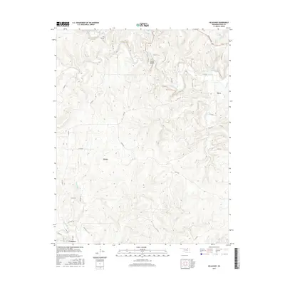
2016 Map of Nelagoney
USGS Topo · Published 2016About this map
Nelagoney sits at the southern edge of this Osage County landscape, where the terrain is defined by a dense network of seasonal drainages and creek beds. The area is characterized by significant elevation changes, with Lookout Point providing a prominent vantage over the winding path of Sand Creek. Settlement is sparse, centered on the small communities of Kiheki and Okesa, which are connected by a grid of county roads such as Okesa Rd and the prominent Bartlesville Rd in the northeast.
Find a feature on this map
42 named features on this map. Tap any name to fly to it.
Don’t see what you’re looking for? This feature index may not catch every label — zoom into the map to look around manually.
Map Details
Editions of this 2016 Nelagoney Map
This is the sole edition of this map. No revisions or reprints were ever made.
Other maps of this area

1906 · Nelagoney
USGS Topo · 1:24,000

1909 · Pawhuska
USGS Topo · 1:125,000

1910 · Pawhuska
USGS Topo · 1:125,000

1955 · Enid
USGS Topo · 1:250,000

1958 · Enid
USGS Topo · 1:250,000

1960 · Nanos
USGS Topo · 1:24,000

1960 · Nelagoney
USGS Topo · 1:24,000

1960 · Herd
USGS Topo · 1:24,000

1960 · Pawhuska
USGS Topo · 1:24,000

1964 · Barnsdall
USGS Topo · 1:24,000