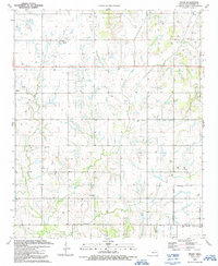
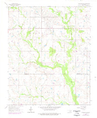
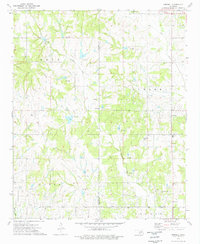
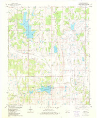
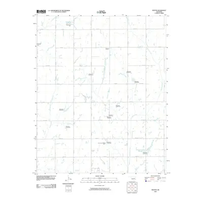
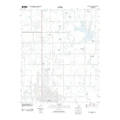
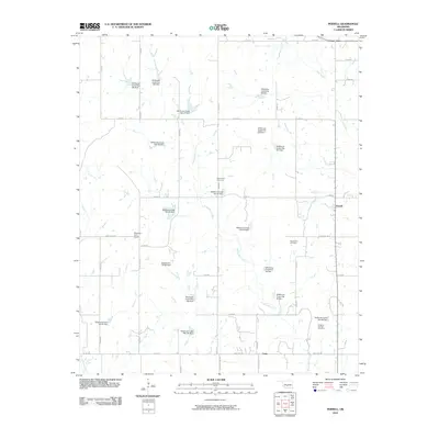
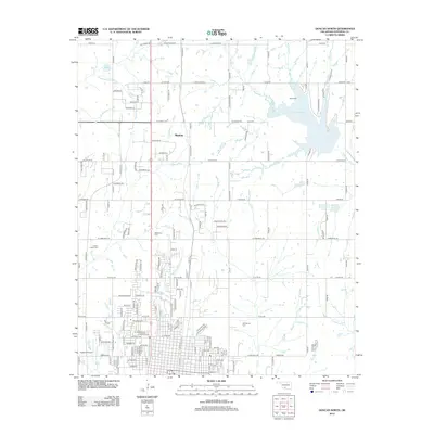
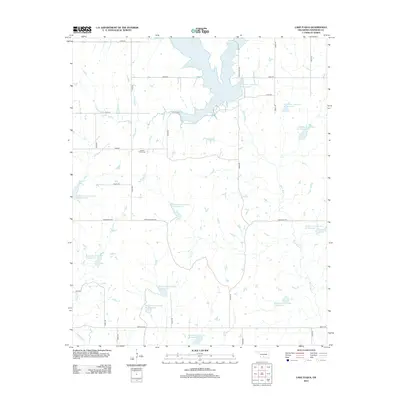
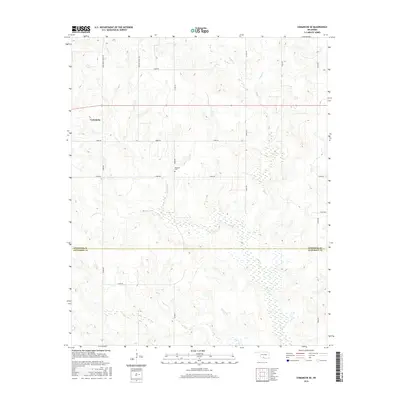
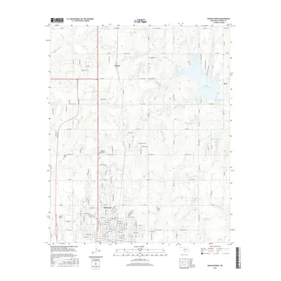
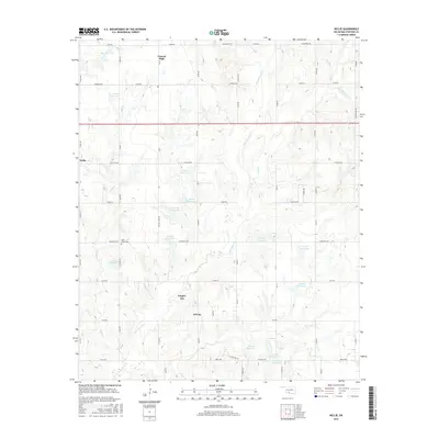
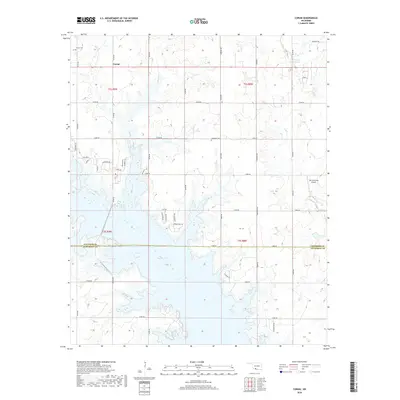
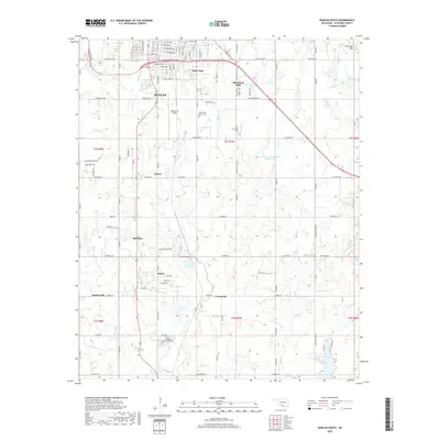
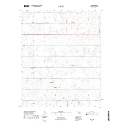
1991 Map of Nellie
USGS Topo · Published 1991About this map
Oil City and the settlement of Nellie anchor this Stephens County landscape during a period of intensive petroleum extraction. The map reveals a dense network of energy infrastructure, including a sprawling Oil Field, numerous Oil Wells, Gas Well sites, and a prominent Pipeline cutting through the terrain. This industrial presence is balanced by established community landmarks that serve as vital touchstones for family historians.
Find a feature on this map
22 named features on this map. Tap any name to fly to it.
Don’t see what you’re looking for? This feature index may not catch every label — zoom into the map to look around manually.
Map Details
Editions of this 1991 Nellie Map
This is the sole edition of this map. No revisions or reprints were ever made.
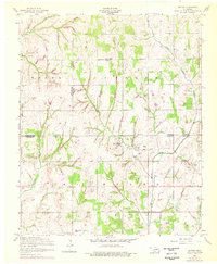
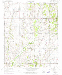
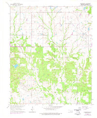
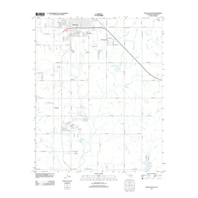
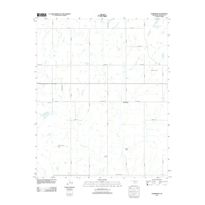
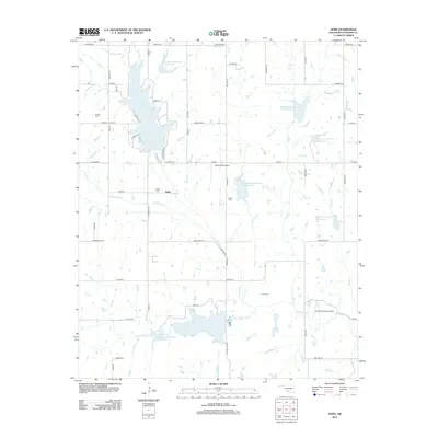
Historical Maps of Duncan Through Time
70 maps found
1956 Denton
Stephens County, OK
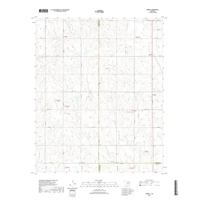
1956 Nellie
Stephens County, OK
1963 Harrisburg
Stephens County, OK
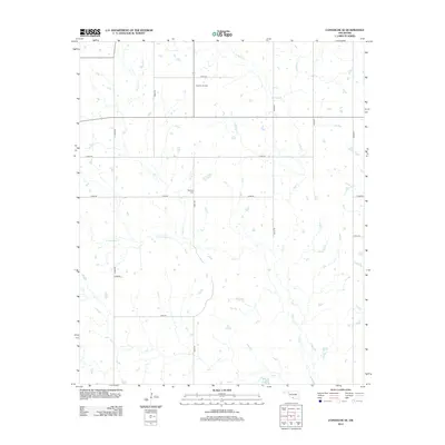
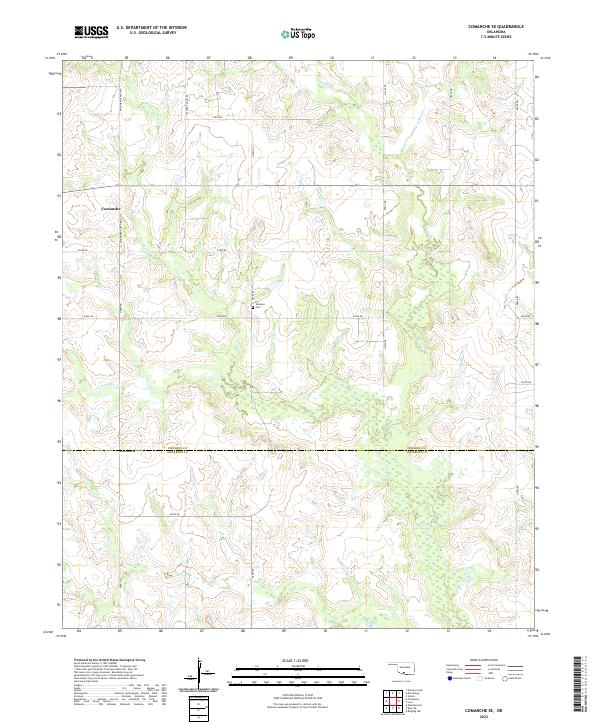
1964 Comanche SE
Stephens County, OK
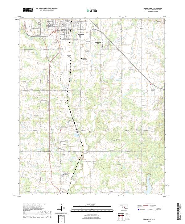
1964 Duncan South
Stephens County, OK
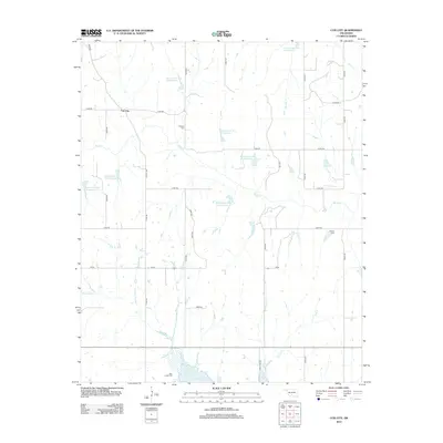
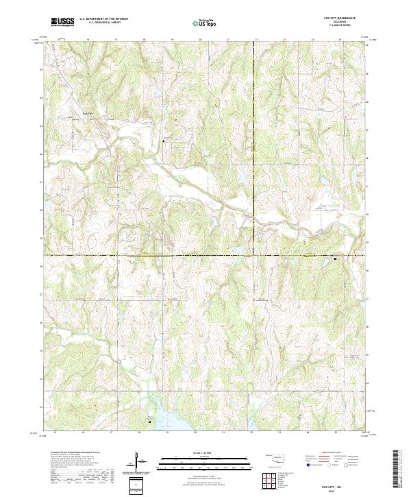
1974 Cox City
Stephens County, OK
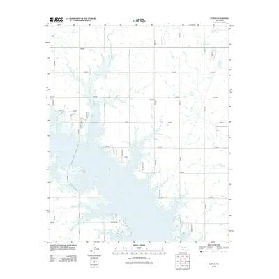
1974 Lake Fuqua
Stephens County, OK
1974 Pernell
Stephens County, OK
1975 Marlow SE
Stephens County, OK
1975 Marlow SW
Stephens County, OK
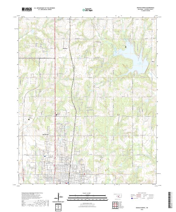
1982 Duncan North
Stephens County, OK
1982 Hope
Stephens County, OK

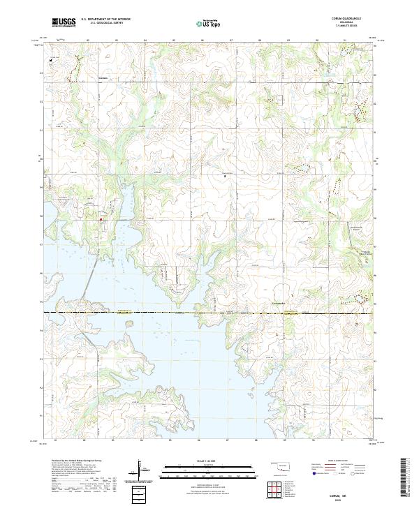
1987 Corum
Stephens County, OK
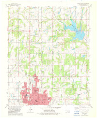
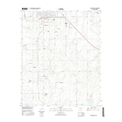
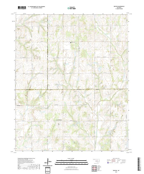
1991 Denton
Stephens County, OK
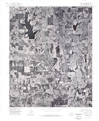
1991 Nellie
Stephens County, OK
2009 Comanche SE
Stephens County, OK
2009 Cox City
Stephens County, OK
2009 Denton
Stephens County, OK
2009 Duncan South
Stephens County, OK
2009 Nellie
Stephens County, OK
2010 Corum
Stephens County, OK
2010 Duncan North
Stephens County, OK
2010 Harrisburg
Stephens County, OK
2010 Hope
Stephens County, OK
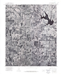
2010 Lake Fuqua
Stephens County, OK
2010 Pernell
Stephens County, OK
2012 Comanche SE
Stephens County, OK
2012 Corum
Stephens County, OK
2012 Cox City
Stephens County, OK
2012 Duncan North
Stephens County, OK
2012 Duncan South
Stephens County, OK
2012 Harrisburg
Stephens County, OK
2012 Hope
Stephens County, OK
2012 Lake Fuqua
Stephens County, OK
2012 Nellie
Stephens County, OK
2012 Pernell
Stephens County, OK
2013 Denton
Stephens County, OK
2016 Comanche SE
Stephens County, OK
2016 Corum
Stephens County, OK
2016 Cox City
Stephens County, OK
2016 Denton
Stephens County, OK
2016 Duncan North
Stephens County, OK
2016 Duncan South
Stephens County, OK
2016 Harrisburg
Stephens County, OK
2016 Hope
Stephens County, OK
2016 Lake Fuqua
Stephens County, OK
2016 Nellie
Stephens County, OK
2016 Pernell
Stephens County, OK
2018 Comanche SE
Stephens County, OK
2018 Corum
Stephens County, OK
2018 Cox City
Stephens County, OK
2018 Denton
Stephens County, OK
2018 Duncan North
Stephens County, OK
2018 Duncan South
Stephens County, OK
2018 Harrisburg
Stephens County, OK
2018 Hope
Stephens County, OK
2018 Lake Fuqua
Stephens County, OK
2018 Nellie
Stephens County, OK
2018 Pernell
Stephens County, OK
2022 Comanche SE
Stephens County, OK
2022 Corum
Stephens County, OK
2022 Cox City
Stephens County, OK
2022 Denton
Stephens County, OK
2022 Duncan North
Stephens County, OK
2022 Duncan South
Stephens County, OK
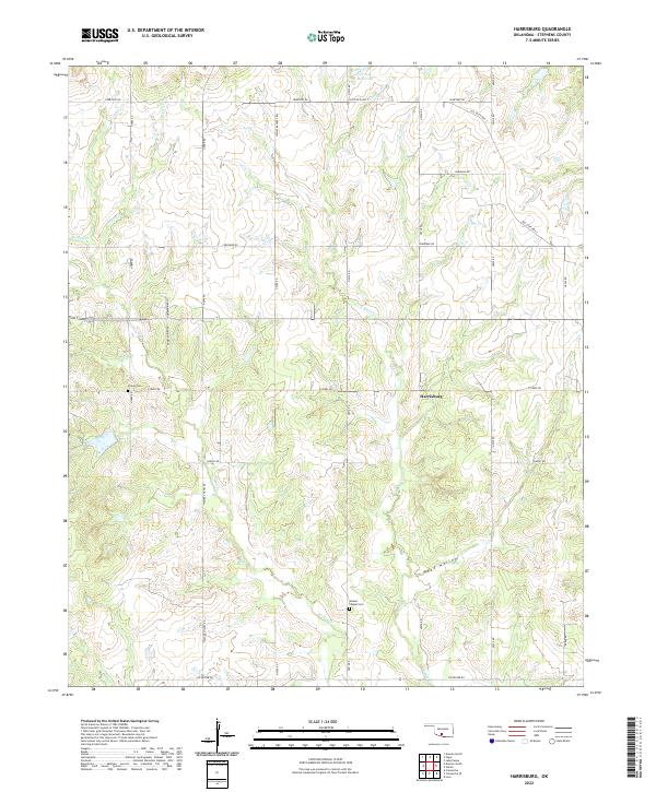
2022 Harrisburg
Stephens County, OK
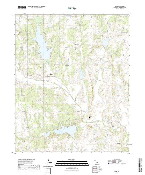
2022 Hope
Stephens County, OK
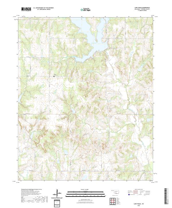
2022 Lake Fuqua
Stephens County, OK
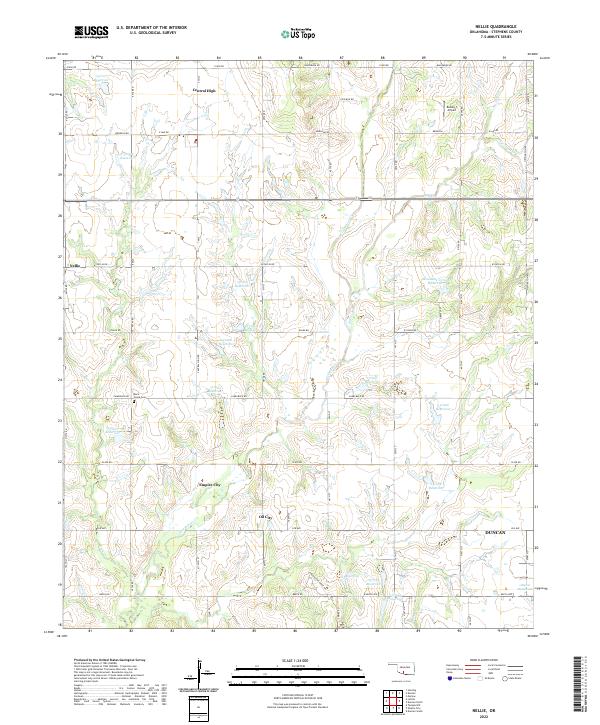
2022 Nellie
Stephens County, OK
2022 Pernell
Stephens County, OK