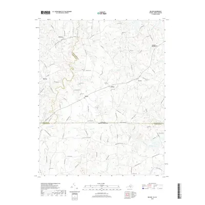
2019 Map of Nelson
USGS Topo · Published 2019About this map
The Virginia North Carolina state line divides this Piedmont landscape, where the southern reaches of Mecklenburg County and Halifax County meet Granville County. Small rural settlements like Nelson and Hitesburg anchor a network of local roads that follow the ridges between numerous watercourses. The hydrology of the region is defined by the systems of Aarons Cr and Buffalo Cr, which carve through the undulating terrain. Family history is etched across the map in the form of numerous small burial grounds, including the Hite Cem, Overbey Cem, and Hayes Cem. The settlement pattern around Buffalo Junction and Averett reflects a long history of agricultural life, where roads like Hites Mill Rd and Willards Mill Rd hint at the former locations of local industries that once served these upland communities.
Find a feature on this map
104 named features on this map. Tap any name to fly to it.
Don’t see what you’re looking for? This feature index may not catch every label — zoom into the map to look around manually.
Map Details
Editions of this 2019 Nelson Map
This is the sole edition of this map. No revisions or reprints were ever made.
Other maps of this area

1941 · Clarksville
USGS Topo · 1:48,000

1943 · Clarksville
USGS Topo · 1:62,500

1943 · Roxboro
USGS Topo · 1:62,500

1953 · Oxford
USGS Topo · 1:62,500

1953 · South Boston
USGS Topo · 1:62,500

1953 · Greensboro
USGS Topo · 1:250,000

1954 · Greensboro
USGS Topo · 1:250,000

1957 · South Boston
USGS Topo · 1:62,500

1957 · Clarksville
USGS Topo · 1:62,500

1962 · Greensboro
USGS Topo · 1:250,000