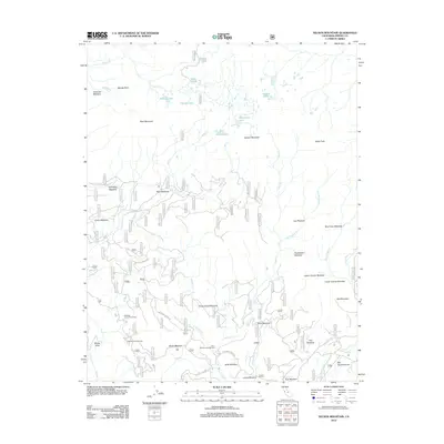
2012 Map of Nelson Mountain
USGS Topo · Published 2012About this map
Nelson Mountain and Bear Mountain anchor this high-altitude landscape in the Sierra Nevada, where a complex network of granite peaks and alpine meadows defines the terrain. The area is marked by numerous water bodies including the Nelson Lakes, Grouse Lake, and Betty Lake, all feeding into a system of creeks such as Dinkey Cr and Deer Cr. The presence of the McKinley Grove Picnic Area and Gigantea Campground suggests a region valued for its giant sequoia groves and outdoor recreation. A dense concentration of named meadows, such as Snow Corral Meadow, Exchequer Meadow, and Huckleberry Meadow, indicates a diverse ecosystem where water and high-relief topography meet. This 2012 survey also documents the primitive road access provided by Mc Kinley Grove Rd and Ross Crossing Rd, which link remote campgrounds like Buck Meadow Campground to the broader region.
Find a feature on this map
48 named features on this map. Tap any name to fly to it.
Don’t see what you’re looking for? This feature index may not catch every label — zoom into the map to look around manually.
Map Details
Editions of this 2012 Nelson Mountain Map
This is the sole edition of this map. No revisions or reprints were ever made.
Other maps of this area

1903 · Tehipite
USGS Topo · 1:125,000

1904 · Kaiser
USGS Topo · 1:125,000

1905 · Tehipite
USGS Topo · 1:125,000

1912 · Mt. Goddard
USGS Topo · 1:125,000

1922 · Trimmer
USGS Topo · 1:96,000

1924 · Dinuba
USGS Topo · 1:125,000

1947 · Mariposa
USGS Topo · 1:250,000

1948 · Fresno
USGS Topo · 1:250,000

1948 · Mariposa
USGS Topo · 1:250,000

1952 · Tehipite Dome
USGS Topo · 1:62,500