
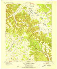
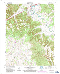
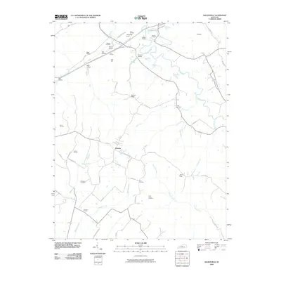
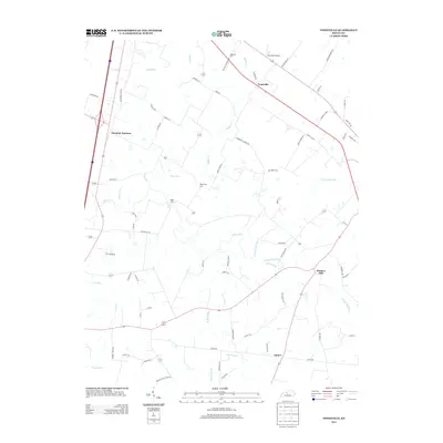
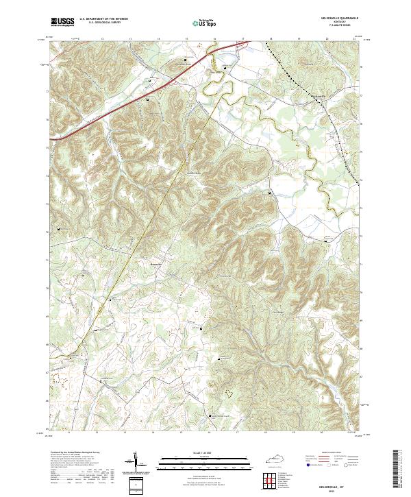
1953 Map of Nelsonville
USGS Topo · Published 1965About this map
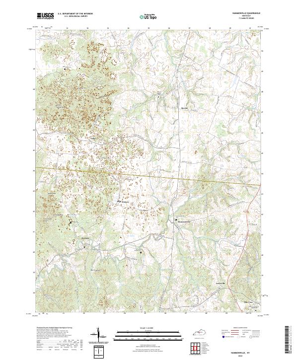
Rolling Fork meanders through the heart of this mid-century landscape, defining the boundary between Nelson, Hardin, and Larue counties. The Louisville and Nashville railroad tracks follow the river's path, serving the small community of Nelsonville and connecting the valley's rural homesteads. This era shows a countryside still heavily organized around its local institutions, with small rural schools like Spencer Sch and neighborhood churches such as Farmers Ch and Union Ch scattered among the ridges. The terrain is marked by numerous family-named landmarks including Potmesser Knob and Castleman Creek, reflecting generations of settlement along the narrow hollows. High points like Pinnacle and the James Chapel Fire Tower provide a distinct look at the topographic character of the region before modern development altered the land use patterns of north-central Kentucky.
Find a feature on this map
49 named features on this map. Tap any name to fly to it.
Don’t see what you’re looking for? This feature index may not catch every label — zoom into the map to look around manually.
Map Details
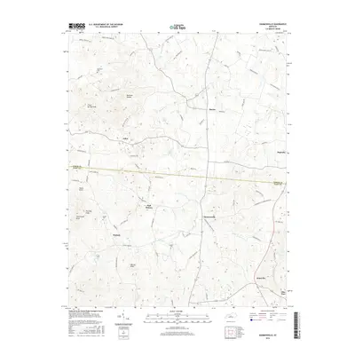
Editions of this 1953 Nelsonville Map
2 editions found
Historical Maps of Nelsonville Through Time
22 maps found
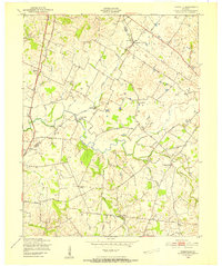
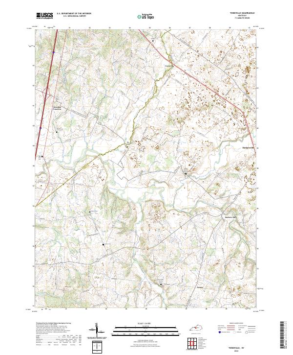
1949 Tonieville
Larue County, KY
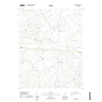
1953 Nelsonville
Larue County, KY
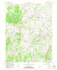
1954 Hammonville
Larue County, KY
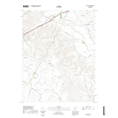
1960 Tonieville
Larue County, KY
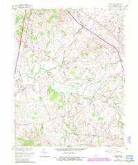
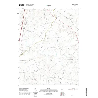
1967 Nelsonville
Larue County, KY
1979 Tonieville
Larue County, KY
1992 Tonieville
Larue County, KY
2010 Hammonville
Larue County, KY
2010 Nelsonville
Larue County, KY
2010 Tonieville
Larue County, KY
2013 Hammonville
Larue County, KY
2013 Nelsonville
Larue County, KY
2013 Tonieville
Larue County, KY
2016 Hammonville
Larue County, KY
2016 Nelsonville
Larue County, KY
2016 Tonieville
Larue County, KY
2019 Hammonville
Larue County, KY
2019 Nelsonville
Larue County, KY
2019 Tonieville
Larue County, KY
2022 Hammonville
Larue County, KY
2022 Nelsonville
Larue County, KY
2022 Tonieville
Larue County, KY