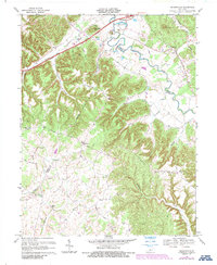
1967 Map of Nelsonville
USGS Topo · Published 1987About this map
The Rolling Fork river winds along the northern boundary of this central Kentucky landscape, defining a border between Nelson, Hardin, and LaRue counties. The Blue Grass Parkway cuts through the northern hills near Potmesser Knob and Cedar Knob, marking the modern infrastructure of the late 1960s. To the south, the terrain becomes increasingly complex as the Lincoln Trail meanders through the ridges and hollows, connecting smaller rural communities like Roanoke and Nelsonville.
Find a feature on this map
49 named features on this map. Tap any name to fly to it.
Don’t see what you’re looking for? This feature index may not catch every label — zoom into the map to look around manually.
Map Details
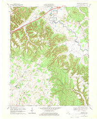
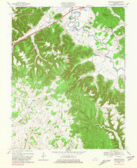
Editions of this 1967 Nelsonville Map
3 editions found
Other maps of this area

1935 · Elizabethtown
USGS Topo · 1:48,000

1936 · Vine Grove
USGS Topo · 1:62,500

1938 · Elizabethtown
USGS Topo · 1:62,500

1943 · Vine Grove
USGS Topo · 1:62,500

1946 · Colesburg
USGS Topo · 1:24,000

1946 · Vine Grove
USGS Topo · 1:62,500

1949 · Cravens
USGS Topo · 1:24,000

1949 · Tonieville
USGS Topo · 1:24,000

1949 · Elizabethtown
USGS Topo · 1:24,000

1949 · Shepherdsville
USGS Topo · 1:62,500