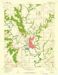
1959 Map of Neodesha
USGS Topo · Published 1960About this map
The industrial and agricultural convergence at Neodesha is clearly defined in this mid-century portrait, where the Verdigris River and Fall River meet. At the heart of the settlement lies a large Oil Refinery and associated Settling Basins, illustrating the town's role as a regional energy hub. Transport networks are dense, featuring the crossing of the St Louis San Francisco and Missouri Pacific railroads.
Find a feature on this map
45 named features on this map. Tap any name to fly to it.
Don’t see what you’re looking for? This feature index may not catch every label — zoom into the map to look around manually.
Map Details
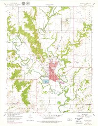
Editions of this 1959 Neodesha Map
2 editions found
Other maps of this area

1886 · Fredonia
USGS Topo · 1:125,000

1886 · Independence
USGS Topo · 1:125,000

1894 · Fredonia
USGS Topo · 1:125,000

1894 · Independence
USGS Topo · 1:125,000

1905 · Independence
USGS Topo · 1:125,000

1938 · Fredonia
USGS Topo · 1:62,500

1938 · Altoona
USGS Topo · 1:62,500

1939 · Altoona
USGS Topo · 1:48,000

1939 · Fredonia
USGS Topo · 1:48,000

1942 · Fredonia
USGS Topo · 1:62,500