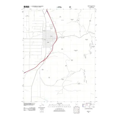
2011 Map of Nephi
USGS Topo · Published 2011About this map
The mountain-edged landscape of Nephi is defined by its position at the base of several prominent canyons, including Red Canyon and Salt Spring Canyon. The 2011 topography reveals a community shaped by its resource-rich surroundings, with industrial legacies represented by the Gypsum Mill and the upland Rowleys Mine. For researchers, the map provides precise locations for the Nephi City Cemetery and Vine Bluff Cemetery, both key sites for tracing local lineage. The western edge of the settlement transitions into more utilitarian infrastructure such as the Nephi Municipal Airport, while the south and east are dominated by a rugged network of drainages like Gardners Fork and Old Pinery Canyon. This landscape serves as a gateway to the high country, evidenced by the High Mountain Campground situated just north of the town center.
Find a feature on this map
40 named features on this map. Tap any name to fly to it.
Don’t see what you’re looking for? This feature index may not catch every label — zoom into the map to look around manually.
Map Details
Editions of this 2011 Nephi Map
This is the sole edition of this map. No revisions or reprints were ever made.
Other maps of this area
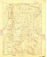
1885 · Manti
USGS Topo · 1:250,000
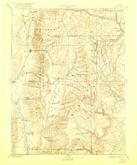
1895 · Manti
USGS Topo · 1:250,000
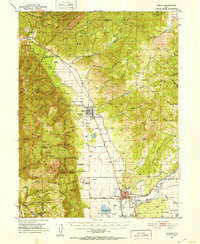
1951 · Moroni
USGS Topo · 1:62,500
1951 · Santaquin
USGS Topo · 1:62,500
1951 · Nephi
USGS Topo · 1:62,500
1952 · Santaquin Peak
USGS Topo · 1:62,500
1956 · Price
USGS Topo · 1:250,000
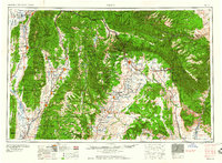
1960 · Price
USGS Topo · 1:250,000
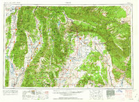
1962 · Price
USGS Topo · 1:250,000
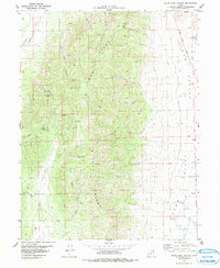
1979 · Slate Jack Canyon
USGS Topo · 1:24,000