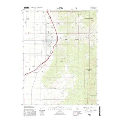
2017 Map of Nephi
USGS Topo · Published 2017About this map
The municipal center of Nephi sits at the western base of the San Pitch Mountains, where the grid of city streets meets the rising elevations of the Uinta National Forest. This 2017 study illustrates the intersection of high-desert agriculture and industrial history, notably the Gypsum Mill positioned near the mouth of Salt Spring Canyon. Genealogists will find the city's burial grounds well-documented, including Vine Bluff Cem and Nephi City Cem on the northern and eastern edges of town. The landscape transitions from the flat floor of Long Valley and the Nephi Municipal Airport in the west to a complex network of canyons and peaks to the east, such as Red Canyon and Mahogany Hill. Water sources are critical in this terrain, with Salt Cr and Gardners Fork draining the highlands near Rees Flat.
Find a feature on this map
76 named features on this map. Tap any name to fly to it.
Don’t see what you’re looking for? This feature index may not catch every label — zoom into the map to look around manually.
Map Details
Editions of this 2017 Nephi Map
This is the sole edition of this map. No revisions or reprints were ever made.
Other maps of this area
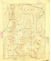
1885 · Manti
USGS Topo · 1:250,000
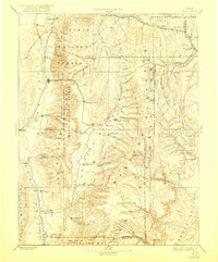
1895 · Manti
USGS Topo · 1:250,000
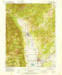
1951 · Moroni
USGS Topo · 1:62,500
1951 · Santaquin
USGS Topo · 1:62,500
1951 · Nephi
USGS Topo · 1:62,500
1952 · Santaquin Peak
USGS Topo · 1:62,500
1956 · Price
USGS Topo · 1:250,000
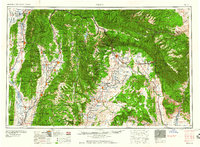
1960 · Price
USGS Topo · 1:250,000
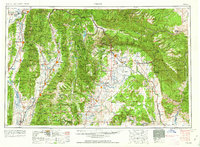
1962 · Price
USGS Topo · 1:250,000
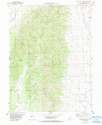
1979 · Slate Jack Canyon
USGS Topo · 1:24,000