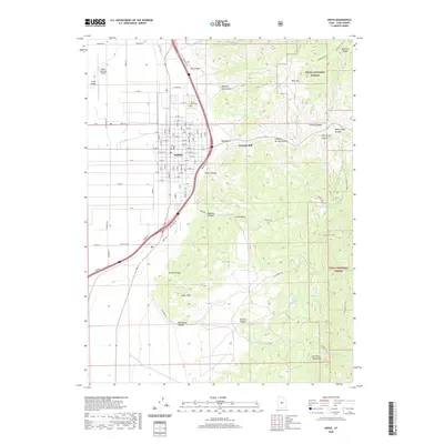
2020 Map of Nephi
USGS Topo · Published 2020About this map
The high-desert valley floor meeting the western edge of the Uinta National Forest defines this part of Juab County. The city of Nephi serves as the central hub, organized on a grid between the Wasatch Range to the north and the San Pitch Mountains to the south. Industrial history is evident at the Gypsum Mill east of town, positioned near the mouth of Big Hollow. Along the canyons, water sources like Salt Cr and Gardner Cr drain the higher elevations. For those tracing local roots, the map provides precise locations for both Vine Bluff Cem and Nephi City Cem on the northern outskirts of the settlement. The transition from the flat agricultural lands of Long Valley to the steep, canyon-cut terrain of Old Pinery Canyon and Suttons Canyon illustrates the geographical barriers that shaped local transport and development.
Find a feature on this map
77 named features on this map. Tap any name to fly to it.
Don’t see what you’re looking for? This feature index may not catch every label — zoom into the map to look around manually.
Map Details
Editions of this 2020 Nephi Map
This is the sole edition of this map. No revisions or reprints were ever made.
Other maps of this area
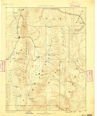
1885 · Manti
USGS Topo · 1:250,000
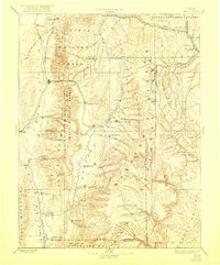
1895 · Manti
USGS Topo · 1:250,000
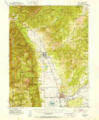
1951 · Moroni
USGS Topo · 1:62,500
1951 · Santaquin
USGS Topo · 1:62,500
1951 · Nephi
USGS Topo · 1:62,500
1952 · Santaquin Peak
USGS Topo · 1:62,500
1956 · Price
USGS Topo · 1:250,000
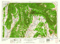
1960 · Price
USGS Topo · 1:250,000
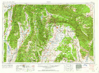
1962 · Price
USGS Topo · 1:250,000
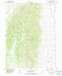
1979 · Slate Jack Canyon
USGS Topo · 1:24,000