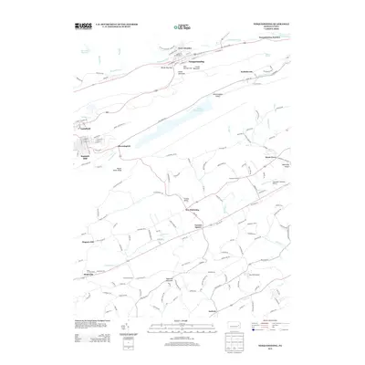
2013 Map of Nesquehoning
USGS Topo · Published 2013About this map
Nesquehoning and Lansford dominate this portion of the Pennsylvania coal region, where the industrial landscape is defined by the steep gaps of Locust Mountain and Mauch Chunk Ridge. The terrain is deeply carved by the Nesquehoning Cr and the Lehigh River at Nesquehoning Junction, creating a complex network of valleys like Strauss Valley and Bloomingdale Valley. Settlement patterns here reflect a mix of dense residential grids in the boroughs and sprawling agricultural operations in the southern reaches, notably at Miller and Rex Farms.
Find a feature on this map
152 named features on this map. Tap any name to fly to it.
Don’t see what you’re looking for? This feature index may not catch every label — zoom into the map to look around manually.
Map Details
Editions of this 2013 Nesquehoning Map
This is the sole edition of this map. No revisions or reprints were ever made.
Other maps of this area

1889 · Hazleton
USGS Topo · 1:62,500

1891 · Hazleton
USGS Topo · 1:62,500

1893 · Hazleton
USGS Topo · 1:62,500

1902 · Slatington
USGS Topo · 1:62,500

1909 · Hamburg
USGS Topo · 1:62,500

1911 · Hamburg
USGS Topo · 1:62,500

1922 · Mauch Chunk
USGS Topo · 1:62,500

1924 · Mauch Chunk
USGS Topo · 1:62,500

1937 · Allentown West
USGS Topo · 1:48,000

1942 · Allentown West
USGS Topo · 1:62,500