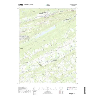
2019 Map of Nesquehoning
USGS Topo · Published 2019About this map
Nesquehoning and the coal-region boroughs of Lansford, Summit Hill, and Jim Thorpe sit at the intersection of industry and topography in the Southern Anthracite Field. The landscape is defined by long, parallel ridges like Locust Mtn, Nesquehoning Mtn, and Mauch Chunk Ridge, which hem in narrow valleys where settlements and transportation corridors concentrated. A high density of religious and cultural sites is evident in the numerous denominational burial grounds, including the Sacred Heart Polish National Church Cem and Saint Mary's Russian Orthodox Cem. Further south, the terrain softens into the Mahoning Valley, where small hamlets like Normal Square and Mantzville are situated alongside the winding Mahoning Cr. This shift from the industrial character of the north to the agricultural and residential patterns of the south is punctuated by landmarks such as the Jake Arner Memorial Airport and the expansive Mauch Chunk Lake.
Find a feature on this map
155 named features on this map. Tap any name to fly to it.
Don’t see what you’re looking for? This feature index may not catch every label — zoom into the map to look around manually.
Map Details
Editions of this 2019 Nesquehoning Map
This is the sole edition of this map. No revisions or reprints were ever made.
Other maps of this area

1889 · Hazleton
USGS Topo · 1:62,500

1891 · Hazleton
USGS Topo · 1:62,500

1893 · Hazleton
USGS Topo · 1:62,500

1902 · Slatington
USGS Topo · 1:62,500

1909 · Hamburg
USGS Topo · 1:62,500

1911 · Hamburg
USGS Topo · 1:62,500

1922 · Mauch Chunk
USGS Topo · 1:62,500

1924 · Mauch Chunk
USGS Topo · 1:62,500

1937 · Allentown West
USGS Topo · 1:48,000

1942 · Allentown West
USGS Topo · 1:62,500