1962 Map of Nestlow
USGS Topo · Published 1976About this map
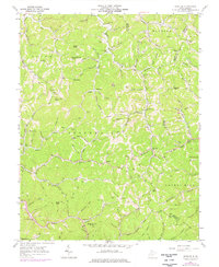
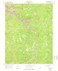
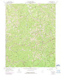
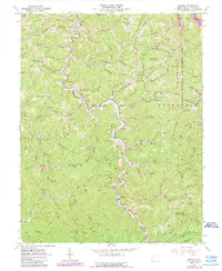
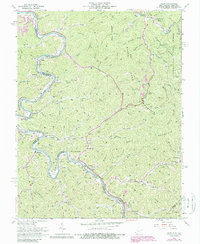
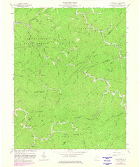
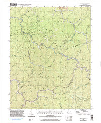
Nestlow and the surrounding narrow valleys of Wayne, Cabell, and Lincoln counties are defined by a dense network of family-named hollows and cemeteries. This 1962 survey, updated in the 1970s, documents a landscape where traditional Appalachian settlements like Gilkerson and Girard sit alongside active resource extraction, evidenced by numerous gas wells and the Tipple Mine in the Stonewall district. The social fabric of the era is anchored by local institutions such as Beech Fork School and Wolfpen Church, while the complex topography is mapped through distinctive landmarks like Sweet Potato Knob and Buzzard Roost Knob. The prevalence of small family burial grounds, including the Crockett and Bradshaw cemeteries, provides a detailed record for genealogists studying the ridge-and-hollow communities of the Laurel Hill region before modern development altered these rural corridors.
Find a feature on this map
115 named features on this map. Tap any name to fly to it.
Don’t see what you’re looking for? This feature index may not catch every label — zoom into the map to look around manually.
Map Details
Editions of this 1962 Nestlow Map
3 editions found
Historical Maps of Nestlow Through Time
13 maps found
1954 Webb
Wayne County, WV
1957 Burnaugh
Wayne County, WV
1962 Kiahsville
Wayne County, WV
1962 Nestlow
Wayne County, WV
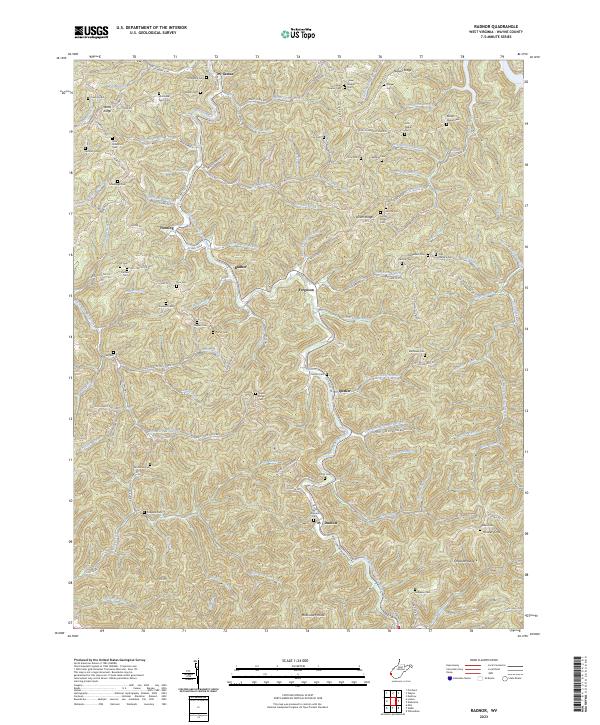
1962 Radnor
Wayne County, WV
1963 Webb
Wayne County, WV
1963 Wilsondale
Wayne County, WV
1996 Wilsondale
Wayne County, WV
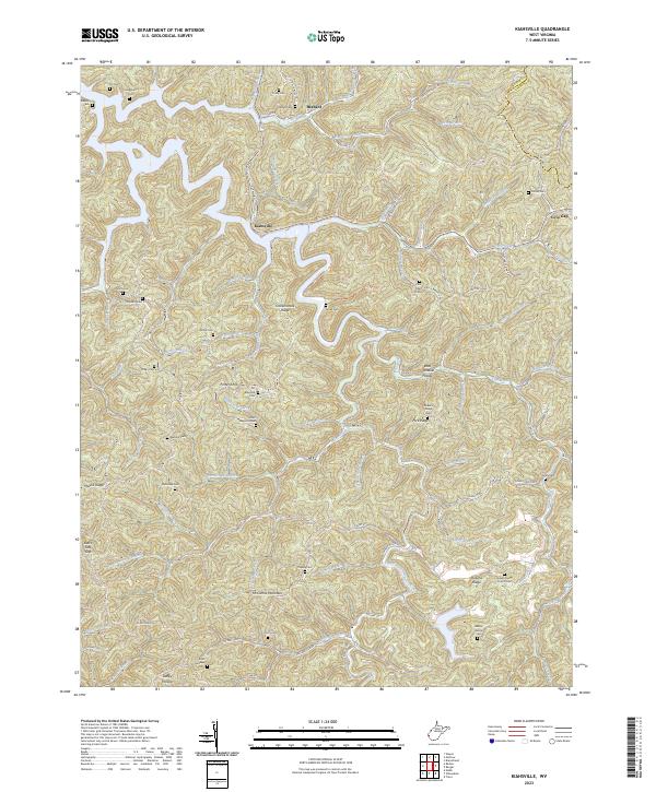
2023 Kiahsville
Wayne County, WV
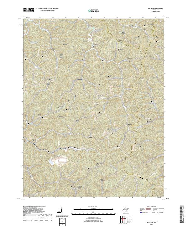
2023 Nestlow
Wayne County, WV
2023 Radnor
Wayne County, WV
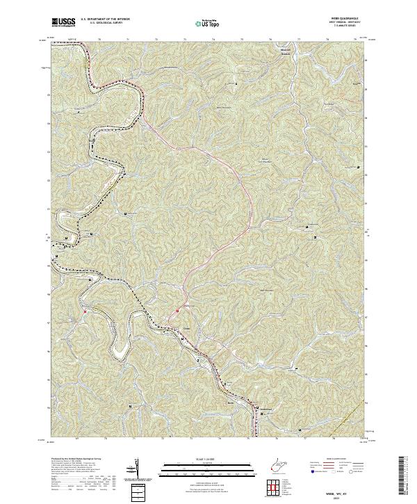
2023 Webb
Wayne County, WV
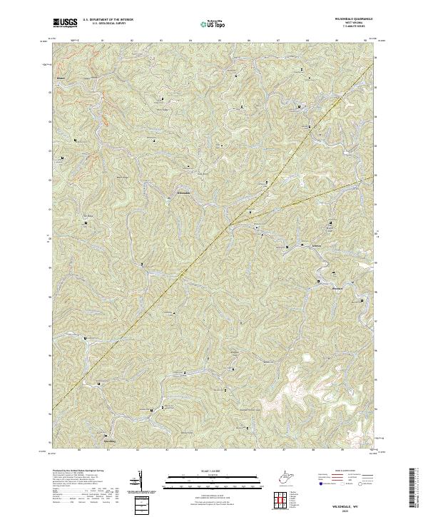
2023 Wilsondale
Wayne County, WV