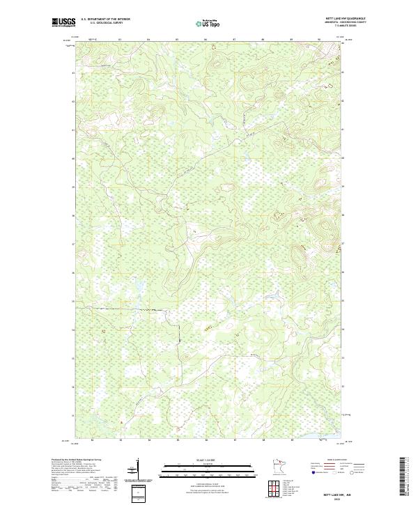
2022 Map of Nett Lake NW
USGS Topo · Published 2022About this map
The Nett Lake River winds through this northern Koochiching County landscape, defining a region characterized by extensive wetlands and remote road networks. In the southwest corner, the river enters from the south near a small portion of Nett Lake, while Resvn Hwy 5 provides a primary corridor through the marshy terrain. The map reveals a sparse but deliberate network of local routes including Ash Lake Rd and Biondich Rd, which likely supported timber management or seasonal access across the various townships. These roads, along with names like Haney Rd and Cutacross Rd, provide valuable markers for those researching the land use and historical transit patterns within this corner of northern Minnesota.
Find a feature on this map
13 named features on this map. Tap any name to fly to it.
Don’t see what you’re looking for? This feature index may not catch every label — zoom into the map to look around manually.
Map Details
Editions of this 2022 Nett Lake NW Map
This is the sole edition of this map. No revisions or reprints were ever made.
Other maps of this area

1954 · International Falls
USGS Topo · 1:250,000

1957 · International Falls
USGS Topo · 1:250,000

1958 · International Falls
USGS Topo · 1:250,000

1969 · Ray SE
USGS Topo · 1:24,000

1969 · Nett Lake
USGS Topo · 1:24,000

1969 · Ericsburg SE
USGS Topo · 1:24,000

1969 · Ray SW
USGS Topo · 1:24,000

1969 · Nett Lake NE
USGS Topo · 1:24,000

1970 · Nett Lake River SE
USGS Topo · 1:24,000
1970 · Nett Lake River East
USGS Topo · 1:24,000