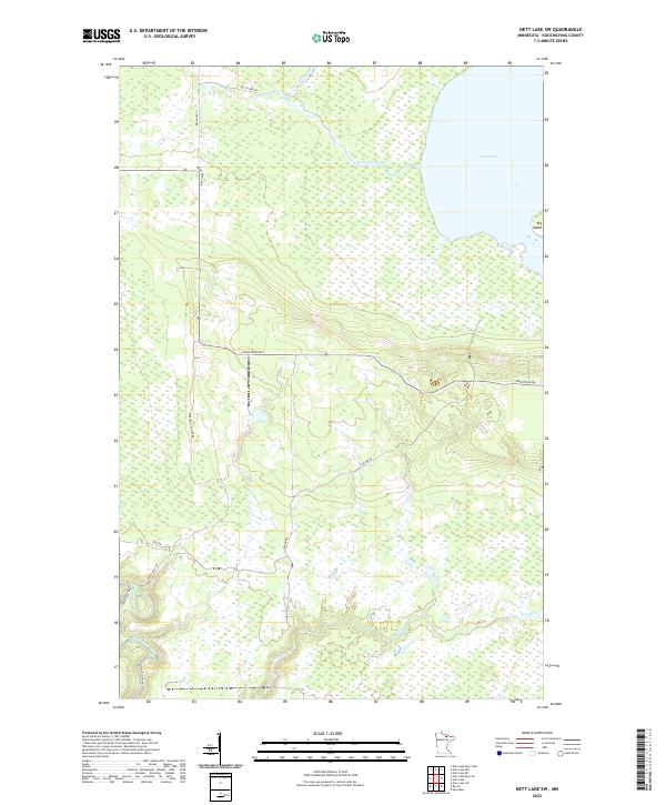
2022 Map of Nett Lake SW
USGS Topo · Published 2022About this map
Nett Lake dominates the northeastern corner of this Koochiching County landscape, its waters giving rise to the Nett Lake River. This 2022 survey documents a remote Northwoods territory defined by its complex hydrology and a sparse network of service roads. To the south, the Little Fork River enters the frame near Resvn Hwy 301, while Prairie Cr meanders through the marshy lowlands of the southeast. The interior is largely roadless save for corridors like Industrial Ave and Sucker Rd, which hint at the region's managed forest and resource-based infrastructure. Topographic detail reveals the subtle elevation changes of Big Island and the drainage patterns that feed the river systems, providing a clear look at the contemporary state of this protected boreal environment.
Find a feature on this map
17 named features on this map. Tap any name to fly to it.
Don’t see what you’re looking for? This feature index may not catch every label — zoom into the map to look around manually.
Map Details
Editions of this 2022 Nett Lake SW Map
This is the sole edition of this map. No revisions or reprints were ever made.
Other maps of this area

1954 · Hibbing
USGS Topo · 1:250,000

1954 · International Falls
USGS Topo · 1:250,000

1957 · Hibbing
USGS Topo · 1:250,000

1957 · International Falls
USGS Topo · 1:250,000

1958 · International Falls
USGS Topo · 1:250,000

1958 · Hibbing
USGS Topo · 1:250,000

1964 · Hibbing
USGS Topo · 1:250,000

1969 · Nett Lake
USGS Topo · 1:24,000

1969 · Nett Lake NE
USGS Topo · 1:24,000

1970 · Rauch
USGS Topo · 1:24,000