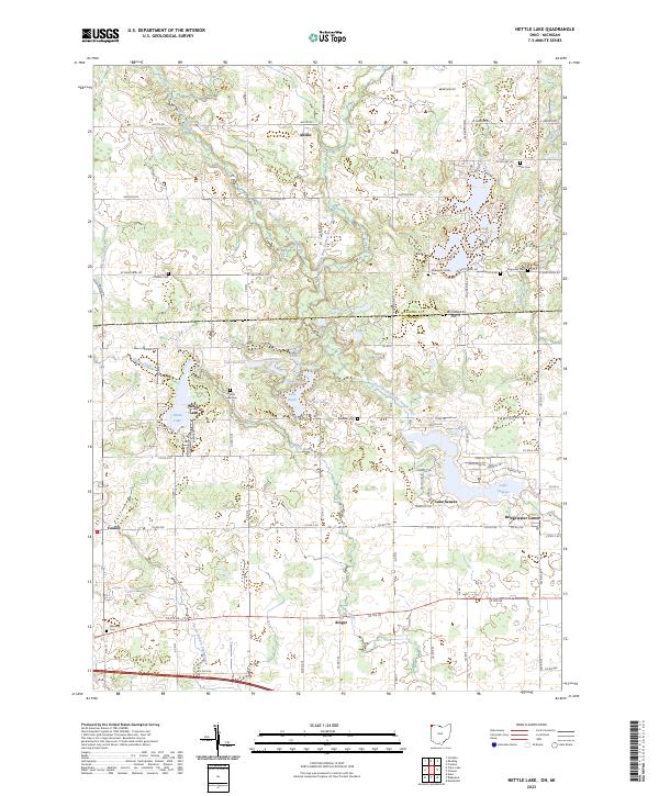
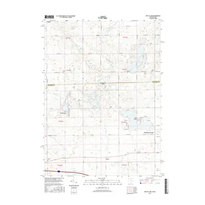
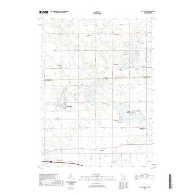
2023 Map of Nettle Lake
USGS Topo · Published 2023About this map
The Michigan-Ohio border and the tri-state corner region define this landscape, where the waters of the West Branch Saint Joseph River and Nettle Creek flow through a complex system of kettle lakes and ponds. This 2023 edition documents a distinctive mix of rural agriculture and residential clusters, particularly around the eponymous Nettle Lake and the developed shores of Lake Seneca. Small historic hubs like Bridgewater Center and Ainger remain fixed points on the local road network, while the survey details several small family burial grounds and community graveyards, including the Robinson Family Cem, Hagaman Cem, and Osborn Cem. The map illustrates the transition from the glaciated terrain of southern Michigan into the flatter till plains of northwest Ohio, capturing a landscape where water bodies such as Lake Da Vere and Hogback Pond are as central to the geography as the section-line roads.
Find a feature on this map
68 named features on this map. Tap any name to fly to it.
Don’t see what you’re looking for? This feature index may not catch every label — zoom into the map to look around manually.
Map Details
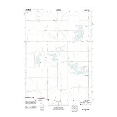
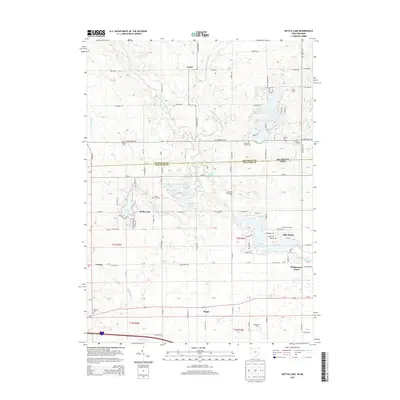
Editions of this 2023 Nettle Lake Map
This is the sole edition of this map. No revisions or reprints were ever made.
Historical Maps of Bridgewater Center Through Time
6 maps found
Featured Locations
- Northwest Township, OH
- Bridgewater Center, Bridgewater Township
- Lake Seneca, Bridgewater Township
- Camden, Camden Township
- Northwest, Northwest Township