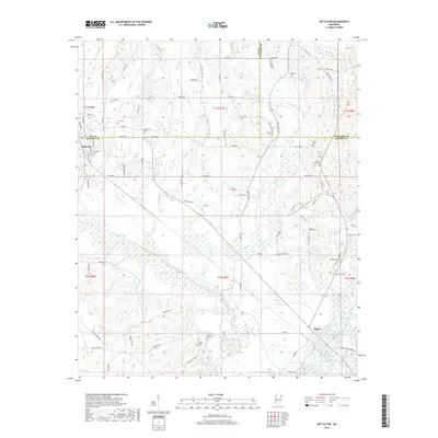
2018 Map of Nettleton
USGS Topo · Published 2018About this map
The town of Nettleton sits at the western edge of this landscape, where the borders of Lee, Monroe, and Itawamba counties converge. This 2018 survey reveals a territory defined by intricate water systems, from the broad Tombigbee River in the southeast to the artificial channeling of the Millhouse Ditch. The rural character is underscored by numerous family and community burial grounds, including the Providence Cem, Atkins Cem, and Union Grove Cem, which serve as vital markers for genealogical research in this part of Mississippi. To the south, the settlement of Bigbee overlooks the river lowlands. The drainage patterns of Town Creek and its many tributaries, such as Devil Den Br and Little Bottom Br, illustrate the hydrologic complexity that has shaped agricultural boundaries and local road networks for generations.
Find a feature on this map
103 named features on this map. Tap any name to fly to it.
Don’t see what you’re looking for? This feature index may not catch every label — zoom into the map to look around manually.
Map Details
Editions of this 2018 Nettleton Map
This is the sole edition of this map. No revisions or reprints were ever made.
Other maps of this area

1953 · West Point
USGS Topo · 1:250,000

1956 · Tupelo
USGS Topo · 1:250,000

1958 · Tupelo
USGS Topo · 1:250,000

1958 · West Point
USGS Topo · 1:250,000

1963 · West Point
USGS Topo · 1:250,000

1965 · Egypt
USGS Topo · 1:24,000

1966 · Smithville
USGS Topo · 1:24,000

1966 · Beans Ferry
USGS Topo · 1:24,000

1966 · Shannon
USGS Topo · 1:24,000

1966 · Amory
USGS Topo · 1:24,000