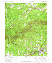
1948 Map of Nevada City
USGS Topo · Published 1966About this map
Nevada City sits at the heart of this gold-country landscape, serving as a hub for the surrounding ridges and mining operations during the late 1940s. The terrain is defined by the deep carving of the South Yuba River, which flows between San Juan Ridge and Montezuma Ridge. Evidence of the region’s hydraulic mining legacy is clearly visible at the Cherokee Diggings near the settlement of Cherokee.
Find a feature on this map
55 named features on this map. Tap any name to fly to it.
Don’t see what you’re looking for? This feature index may not catch every label — zoom into the map to look around manually.
Map Details
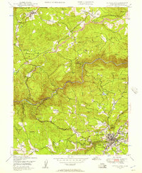
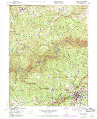
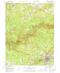
Editions of this 1948 Nevada City Map
4 editions found
Other maps of this area

1888 · Smartsville
USGS Topo · 1:125,000

1891 · Colfax
USGS Topo · 1:125,000

1891 · Smartsville
USGS Topo · 1:125,000

1892 · Smartsville
USGS Topo · 1:125,000

1892 · Colfax
USGS Topo · 1:125,000

1894 · Colfax
USGS Topo · 1:125,000

1894 · Smartsville
USGS Topo · 1:125,000

1895 · Smartsville
USGS Topo · 1:125,000

1898 · Colfax
USGS Topo · 1:125,000

1900 · Colfax
USGS Topo · 1:125,000