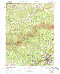
1948 Map of Nevada City
USGS Topo · Published 1971About this map
Nevada City sits at the southern edge of this California Gold Country landscape, where the town's early urban grid meets the steep canyons of the South Yuba River. The map documents a transition from active settlement to legacy industry, particularly visible in the northern reaches near Cherokee Diggings and the Daisy Blue Mine (Abandoned). These labels, along with the Empress Mine (Abandoned) and Champion Mine, mark the deep history of extraction that shaped the terrain's ridges and flats.
Find a feature on this map
56 named features on this map. Tap any name to fly to it.
Don’t see what you’re looking for? This feature index may not catch every label — zoom into the map to look around manually.
Map Details
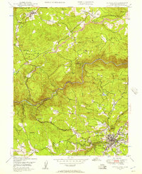
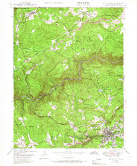
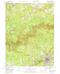
Editions of this 1948 Nevada City Map
4 editions found
Other maps of this area

1888 · Smartsville
USGS Topo · 1:125,000

1891 · Colfax
USGS Topo · 1:125,000

1891 · Smartsville
USGS Topo · 1:125,000

1892 · Smartsville
USGS Topo · 1:125,000

1892 · Colfax
USGS Topo · 1:125,000

1894 · Colfax
USGS Topo · 1:125,000

1894 · Smartsville
USGS Topo · 1:125,000

1895 · Smartsville
USGS Topo · 1:125,000

1898 · Colfax
USGS Topo · 1:125,000

1900 · Colfax
USGS Topo · 1:125,000