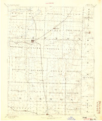
1894 Map of Nevada
USGS Topo · Published 1904About this map
Nevada, Missouri, serves as the central hub of this late 19th-century survey, where the Missouri Kansas and Texas Railroad intersects with the Lexington and Southern Division Missouri Pacific Railroad. The landscape is defined by the drainage basins of the Little Osage River and Marmaton River, which dictate the placement of early settlements and agricultural corridors. Smaller communities such as El Dorado Springs, Montevallo, and Zodiac appear as they were before the turn of the century, often situated near natural springs or creek forks. The map reveals a highly structured township system across Vernon and Barton counties, with prominent landmarks like Blue Mound providing elevation above the surrounding plains. The extensive rail network, including the Kansas City Ft Scott and Gulf Railroad in the south near Lamar, highlights the region's transition into a major regional transport node during the steam era.
Find a feature on this map
67 named features on this map. Tap any name to fly to it.
Don’t see what you’re looking for? This feature index may not catch every label — zoom into the map to look around manually.
Map Details
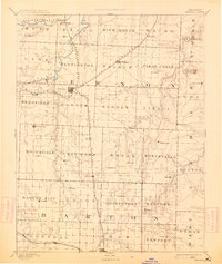
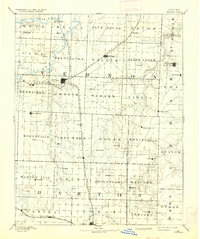
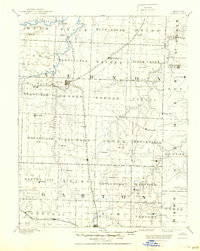
Editions of this 1894 Nevada Map
5 editions found

Other maps of this area

1884 · Fort Scott
USGS Topo · 1:125,000

1886 · Nevada
USGS Topo · 1:125,000

1886 · Joplin
USGS Topo · 1:125,000

1886 · Stockton
USGS Topo · 1:125,000

1886 · Greenfield
USGS Topo · 1:125,000

1886 · Fort Scott
USGS Topo · 1:125,000

1886 · Carthage
USGS Topo · 1:125,000

1887 · Clinton
USGS Topo · 1:125,000

1887 · Butler
USGS Topo · 1:125,000

1887 · Mound City
USGS Topo · 1:125,000