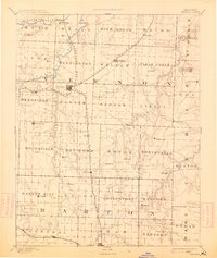
1894 Map of Nevada
USGS Topo · Published 1914About this map
The town of Nevada serves as the central hub of this late 19th-century landscape, situated at the junction of the Missouri Pacific Railroad and the Lexington and Southern Division. Surveyed in 1884, the map reveals a region defined by its reliance on rail transport and its complex network of prairie waterways. To the north, the Little Osage River winds past small settlements like Blaine and Rhinehart, while the eastern border features the spring-fed waters near El Dorado Springs.
Find a feature on this map
68 named features on this map. Tap any name to fly to it.
Don’t see what you’re looking for? This feature index may not catch every label — zoom into the map to look around manually.
Map Details
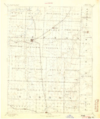
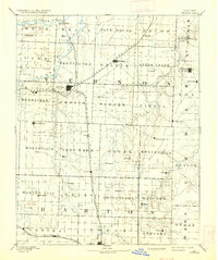
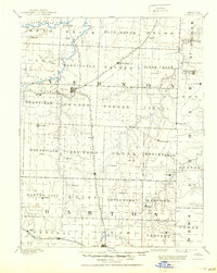
Editions of this 1894 Nevada Map
5 editions found

Other maps of this area

1884 · Fort Scott
USGS Topo · 1:125,000

1886 · Nevada
USGS Topo · 1:125,000

1886 · Joplin
USGS Topo · 1:125,000

1886 · Stockton
USGS Topo · 1:125,000

1886 · Greenfield
USGS Topo · 1:125,000

1886 · Fort Scott
USGS Topo · 1:125,000

1886 · Carthage
USGS Topo · 1:125,000

1887 · Clinton
USGS Topo · 1:125,000

1887 · Butler
USGS Topo · 1:125,000

1887 · Mound City
USGS Topo · 1:125,000